Great Mercury Island (Ahuahu) Area, Great Mercury Island (Ahuahu) Postcode(3500) & Map in Great Mercury Island (Ahuahu)
Great Mercury Island (Ahuahu) Area, Great Mercury Island (Ahuahu) Postcode(3500) & Map in Great Mercury Island (Ahuahu), Thames-Coromandel District, New Zealand
Great Mercury Island (Ahuahu), Thames-Coromandel District, New Zealand
Great Mercury Island (Ahuahu) Postcodes
Great Mercury Island (Ahuahu) Area (estimated)
22.5 square kilometersGreat Mercury Island (Ahuahu) Population (estimated)
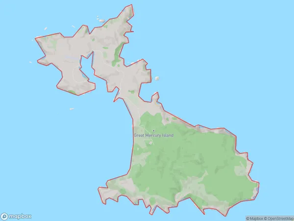
6 people live in Great Mercury Island (Ahuahu), Waikato, NZGreat Mercury Island (Ahuahu) Suburb Area Map (Polygon)
Great Mercury Island (Ahuahu) Introduction
Ahuahu Island is a small, uninhabited island in the Waikato region of New Zealand. It is known for its unique geological features, including a large volcanic cone and a network of caves. The island is surrounded by beautiful beaches and is a popular destination for outdoor activities such as hiking, kayaking, and fishing.Region
Suburb Name
Great Mercury Island (Ahuahu)Other Name(s)
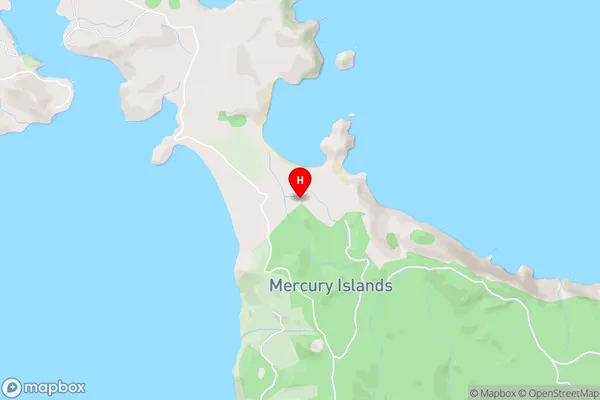
Mercury Islands, Ahuahu, Great Mercury IslandGreat Mercury Island (Ahuahu) Area Map (Street)
Local Authority
Thames-Coromandel DistrictFull Address
Great Mercury Island (Ahuahu), Thames-Coromandel District, New ZealandAddress Type
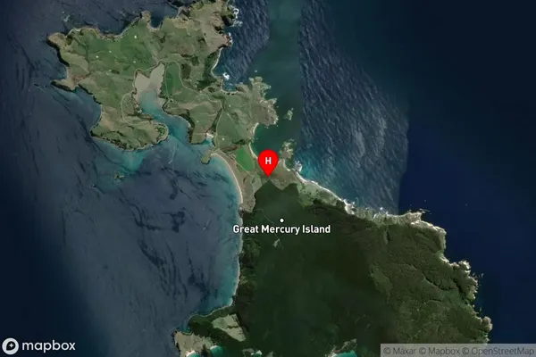
IslandGreat Mercury Island (Ahuahu) Suburb Map (Satellite)
Country
Main Region in AU
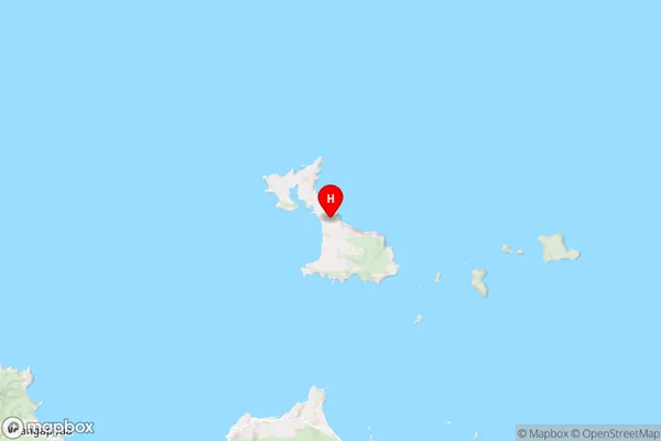
WaikatoGreat Mercury Island (Ahuahu) Region Map
Coordinates
-36.60958455,175.79334747709 (latitude/longitude)Distances
The distance from Great Mercury Island (Ahuahu), , Thames-Coromandel District to NZ Top 10 Cities