Goose Neck Island Area, Goose Neck Island Postcode & Map in Goose Neck Island
Goose Neck Island Area, Goose Neck Island Postcode & Map in Goose Neck Island, Waitaki District, New Zealand
Goose Neck Island, Waitaki District, New Zealand
Goose Neck Island Area (estimated)
0.0 square kilometersGoose Neck Island Population (estimated)
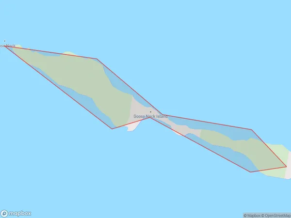
0 people live in Goose Neck Island, Canterbury, NZGoose Neck Island Suburb Area Map (Polygon)
Goose Neck Island Introduction
Goose Neck Island is a small, uninhabited island in the Orford River, located in the Canterbury region of New Zealand. It is known for its unique shape and picturesque surroundings, and is a popular destination for birdwatchers and nature enthusiasts. The island is part of the Orford Wildlife Reserve and is accessible by boat or walking track from the town of Orford.Region
Suburb Name
Goose Neck IslandOther Name(s)
Lake BenmoreGoose Neck Island Area Map (Street)

Local Authority
Waitaki DistrictFull Address
Goose Neck Island, Waitaki District, New ZealandAddress Type
IslandGoose Neck Island Suburb Map (Satellite)

Country
Main Region in AU
CanterburyGoose Neck Island Region Map

Coordinates
-44.4839127,170.211221897848 (latitude/longitude)Distances
The distance from Goose Neck Island, , Waitaki District to NZ Top 10 Cities