Goose Island Area, Goose Island Postcode & Map in Goose Island
Goose Island Area, Goose Island Postcode & Map in Goose Island, Southland District, New Zealand
Goose Island, Southland District, New Zealand
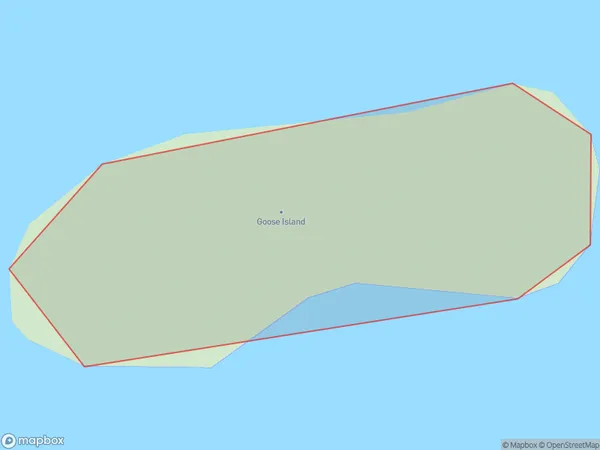
Goose Island Area (estimated)
0.0 square kilometersGoose Island Population (estimated)
0 people live in Goose Island, Southland, NZGoose Island Suburb Area Map (Polygon)
Goose Island Introduction
Goose Island is a small island in Fiordland, Southland, New Zealand. It is part of the Fiordland National Park and is known for its stunning natural beauty, including waterfalls, rainforests, and crystal-clear lakes. The island is also home to a variety of wildlife, including kea, tui, and penguins. Visitors can reach Goose Island by boat or helicopter from the nearby town of Milford Sound.Region
Suburb Name
Goose IslandOther Name(s)
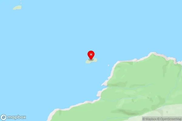
Titi / Muttonbird Islands (Maori Name: Tītī / Muttonbird Islands)Goose Island Area Map (Street)
Local Authority
Southland DistrictFull Address
Goose Island, Southland District, New ZealandAddress Type
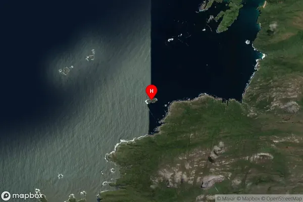
IslandGoose Island Suburb Map (Satellite)
Country
Main Region in AU
SouthlandGoose Island Region Map

Coordinates
-47.1766933,167.5372636 (latitude/longitude)Distances
The distance from Goose Island, , Southland District to NZ Top 10 Cities