Goat Island/Rakiriri Area, Goat Island/Rakiriri Postcode(9054) & Map in Goat Island/Rakiriri
Goat Island/Rakiriri Area, Goat Island/Rakiriri Postcode(9054) & Map in Goat Island/Rakiriri, Dunedin City, New Zealand
Goat Island/Rakiriri, Dunedin City, New Zealand
Goat Island/Rakiriri Postcodes
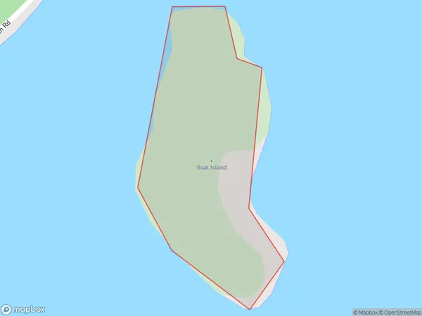
Goat Island/Rakiriri Area (estimated)
0.0 square kilometersGoat Island/Rakiriri Population (estimated)
0 people live in Goat Island/Rakiriri, Dunedin, NZGoat Island/Rakiriri Suburb Area Map (Polygon)
Goat Island/Rakiriri Introduction
Goat Island is a small island located in the harbor of Port Chalmers, Otago, New Zealand. It is known for its large population of goats, which are free to roam around the island. The island also has a historic lighthouse and a small museum. Visitors can reach Goat Island by taking a ferry from Port Chalmers. The island is a popular tourist destination and is a great place to explore nature, see wildlife, and learn about the area's history.Region
Major City
Suburb Name
Goat Island/RakiririOther Name(s)
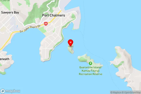
Goat Island, Rakiriri, Otago HarbourGoat Island/Rakiriri Area Map (Street)
Local Authority
Dunedin CityFull Address
Goat Island/Rakiriri, Dunedin City, New ZealandAddress Type
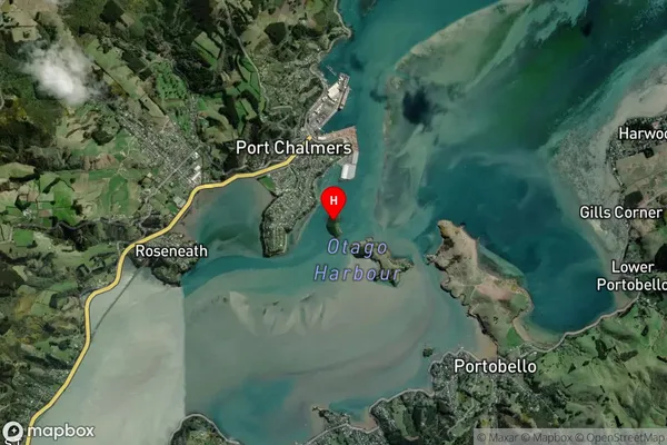
Island in Major Locality Port ChalmersGoat Island/Rakiriri Suburb Map (Satellite)
Country
Main Region in AU
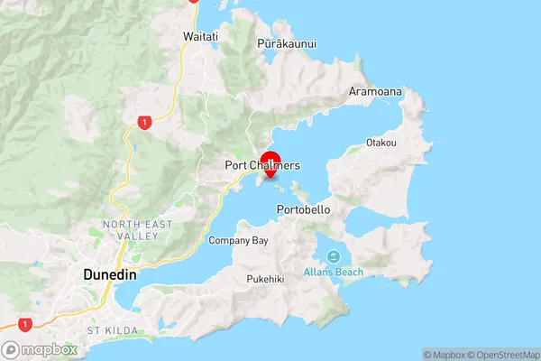
OtagoGoat Island/Rakiriri Region Map
Coordinates
-45.82425145,170.625973936489 (latitude/longitude)Distances
The distance from Goat Island/Rakiriri, Port Chalmers, Dunedin City to NZ Top 10 Cities