Goat Island Area, Goat Island Postcode & Map in Goat Island
Goat Island Area, Goat Island Postcode & Map in Goat Island, Southland District, New Zealand
Goat Island, Southland District, New Zealand
Goat Island Area (estimated)
0.1 square kilometersGoat Island Population (estimated)
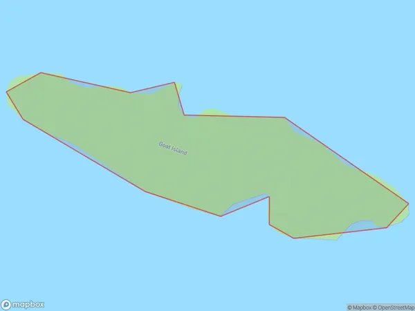
0 people live in Goat Island, Northland, NZGoat Island Suburb Area Map (Polygon)
Goat Island Introduction
Goat Island is located in the Bay of Islands, Northland, New Zealand. It is a small, rocky island with a population of around 500 goats. The island is known for its scenic views, clean air, and peaceful environment. Visitors can walk around the island, visit the goat farm, and enjoy the beautiful beaches. The island also has a rich history, with evidence of early Māori settlement.Region
Major City
Suburb Name
Goat IslandOther Name(s)
Paterson Inlet/Whaka a Te WeraGoat Island Area Map (Street)

Local Authority
Southland DistrictFull Address
Goat Island, Southland District, New ZealandAddress Type
IslandGoat Island Suburb Map (Satellite)

Country
Main Region in AU
NorthlandGoat Island Region Map

Coordinates
-35.65525195,174.51461782039 (latitude/longitude)Distances
The distance from Goat Island, , Southland District to NZ Top 10 Cities