Te Hawere-a-Maki / Goat Island Area, Te Hawere-a-Maki / Goat Island Postcode(0920) & Map in Te Hawere-a-Maki / Goat Island
Te Hawere-a-Maki / Goat Island Area, Te Hawere-a-Maki / Goat Island Postcode(0920) & Map in Te Hawere-a-Maki / Goat Island, Auckland, New Zealand
Te Hawere-a-Maki / Goat Island, Auckland, New Zealand
Te Hawere-a-Maki / Goat Island Postcodes
Te Hawere-a-Maki / Goat Island Area (estimated)
0.2 square kilometersTe Hawere-a-Maki / Goat Island Population (estimated)
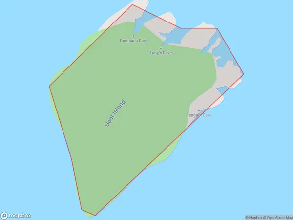
0 people live in Te Hawere-a-Maki / Goat Island, Rodney, NZTe Hawere-a-Maki / Goat Island Suburb Area Map (Polygon)
Te Hawere-a-Maki / Goat Island Introduction
Te Hawere-a-Maki / Goat Island is a small, rocky island in the Hauraki Gulf, located off the coast of Auckland, New Zealand. It is known for its significant bird population, including the rare New Zealand storm petrel. The island is accessible by boat and has a walking track that provides visitors with stunning views of the surrounding area.Region
Major City
Suburb Name
Te Hawere-a-Maki / Goat Island (Maori Name: Te Hāwere-a-Maki / Goat Island)Other Name(s)
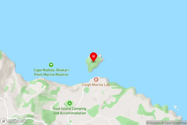
Goat Island LeighTe Hawere-a-Maki / Goat Island Area Map (Street)
Local Authority
AucklandFull Address
Te Hawere-a-Maki / Goat Island, Auckland, New ZealandAddress Type
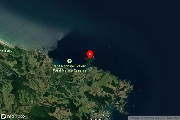
IslandTe Hawere-a-Maki / Goat Island Suburb Map (Satellite)
Country
Main Region in AU
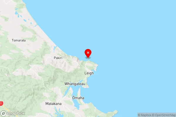
AucklandTe Hawere-a-Maki / Goat Island Region Map
Coordinates
-36.26559025,174.79766421073 (latitude/longitude)Distances
The distance from Te Hawere-a-Maki / Goat Island, , Auckland to NZ Top 10 Cities