Gable Islet Area, Gable Islet Postcode & Map in Gable Islet
Gable Islet Area, Gable Islet Postcode & Map in Gable Islet, Area outside Territorial Authority, New Zealand
Gable Islet, Area outside Territorial Authority, New Zealand
Gable Islet Area (estimated)
0.0 square kilometersGable Islet Population (estimated)
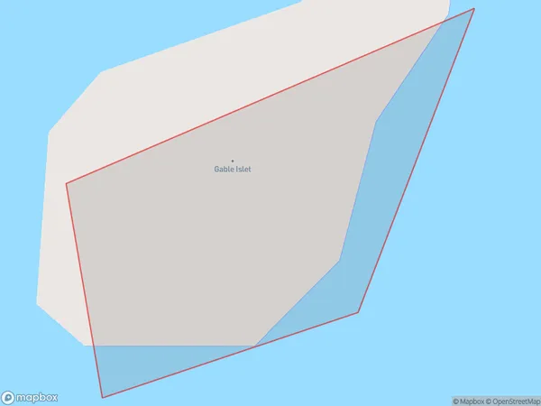
0 people live in Gable Islet, Gisborne, NZGable Islet Suburb Area Map (Polygon)
Gable Islet Introduction
Gable Islet is a small, uninhabited island located off the coast of Gisborne, New Zealand. It is known for its scenic views, including a prominent lighthouse and a variety of bird species. The island is part of the Gisborne Region and is accessible by boat or a short walk from the nearby beach.Region
Suburb Name
Gable IsletGable Islet Area Map (Street)

Local Authority
Area outside Territorial AuthorityFull Address
Gable Islet, Area outside Territorial Authority, New ZealandAddress Type
IslandGable Islet Suburb Map (Satellite)

Country
Main Region in AU
GisborneGable Islet Region Map

Coordinates
-38.5341068,178.296004686639 (latitude/longitude)Distances
The distance from Gable Islet, , Area outside Territorial Authority to NZ Top 10 Cities