Frenchmans Cap Area, Frenchmans Cap Postcode(3500) & Map in Frenchmans Cap
Frenchmans Cap Area, Frenchmans Cap Postcode(3500) & Map in Frenchmans Cap, Thames-Coromandel District, New Zealand
Frenchmans Cap, Thames-Coromandel District, New Zealand
Frenchmans Cap Postcodes
0Frenchmans Cap Population (estimated)
0 people live in Frenchmans Cap, Waikato, NZ0Frenchmans Cap Introduction
Waikato's Frenchmans Cap is a volcanic cone with a height of 1,217 meters. It is located on the southern side of the Waikato River, 16 kilometers southeast of Hamilton. The cone was formed by a series of eruptions between 1824 and 1854 and is part of the Taupo Volcanic Arc. The cone is popular with hikers and has a scenic lookout point with views of the surrounding area.Region
Suburb Name
Frenchmans CapOther Name(s)
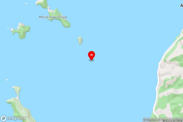
Motukawao Group, Hauraki GulfFrenchmans Cap Area Map (Street)
Local Authority
Thames-Coromandel DistrictFull Address
Frenchmans Cap, Thames-Coromandel District, New ZealandAddress Type
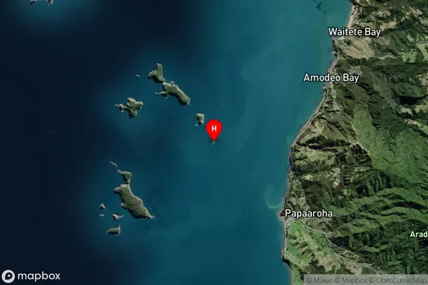
IslandFrenchmans Cap Suburb Map (Satellite)
Country
Main Region in AU
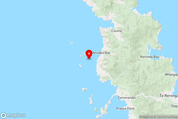
WaikatoFrenchmans Cap Region Map
Coordinates
-36.68663755,175.413308249793 (latitude/longitude)Distances
The distance from Frenchmans Cap, , Thames-Coromandel District to NZ Top 10 Cities