Forsyth Island / Te Paruparu Area, Forsyth Island / Te Paruparu Postcode & Map in Forsyth Island / Te Paruparu
Forsyth Island / Te Paruparu Area, Forsyth Island / Te Paruparu Postcode & Map in Forsyth Island / Te Paruparu, Marlborough District,
Forsyth Island / Te Paruparu, Marlborough District,
Forsyth Island / Te Paruparu Area (estimated)
9.2 square kilometersForsyth Island / Te Paruparu Population (estimated)
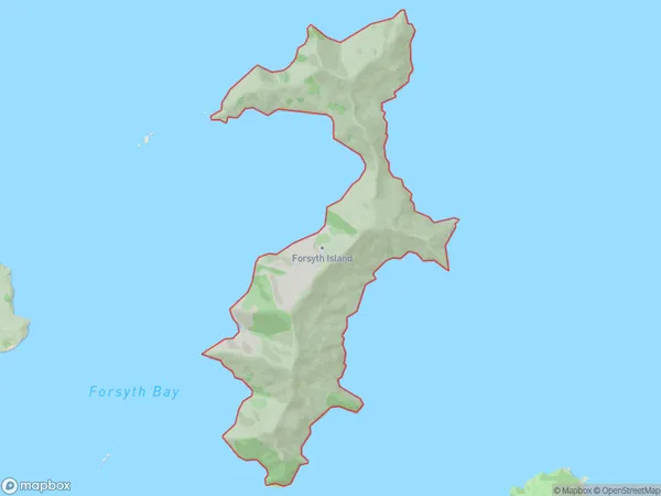
1 people live in Forsyth Island / Te Paruparu, , NZForsyth Island / Te Paruparu Suburb Area Map (Polygon)
Forsyth Island / Te Paruparu Introduction
Forsyth Island / Te Paruparu is a small island located in the Marlborough Sounds, New Zealand. It is known for its stunning natural beauty, including lush forests, crystal-clear waters, and picturesque beaches. The island is a popular destination for hiking, kayaking, and wildlife watching, with a variety of bird species and marine life. It is also home to a historic lighthouse and a small community of residents.0Suburb Name
Forsyth Island / Te ParuparuOther Name(s)
Forsyth Island, Te ParuparuForsyth Island / Te Paruparu Area Map (Street)
Local Authority
Marlborough DistrictFull Address
Forsyth Island / Te Paruparu, Marlborough District,Address Type
Island in Major Locality Marlborough SoundsForsyth Island / Te Paruparu Suburb Map (Satellite)
Country
Main Region in AU
Forsyth Island / Te Paruparu Region Map
Coordinates
0,0 (latitude/longitude)Distances
The distance from Forsyth Island / Te Paruparu, Marlborough Sounds, Marlborough District to NZ Top 10 Cities