Flat Rock Area, Flat Rock Postcode & Map in Flat Rock
Flat Rock Area, Flat Rock Postcode & Map in Flat Rock, Area outside Territorial Authority, New Zealand
Flat Rock, Area outside Territorial Authority, New Zealand
Flat Rock Area (estimated)
0.0 square kilometersFlat Rock Population (estimated)
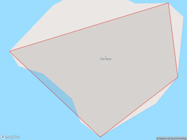
0 people live in Flat Rock, Northland, NZFlat Rock Suburb Area Map (Polygon)
Flat Rock Introduction
Flat Rock is a small settlement in Northland, New Zealand. It is located on State Highway 12, approximately 12 km south of Kaitaia. The settlement has a population of around 200 people and is known for its scenic views and peaceful atmosphere. The area is popular with tourists and outdoor enthusiasts, who enjoy activities such as hiking, fishing, and kayaking.Region
Suburb Name
Flat RockOther Name(s)
Whangamumu HarbourFlat Rock Area Map (Street)

Local Authority
Area outside Territorial AuthorityFull Address
Flat Rock, Area outside Territorial Authority, New ZealandAddress Type
IslandFlat Rock Suburb Map (Satellite)

Country
Main Region in AU
NorthlandFlat Rock Region Map

Coordinates
-35.24103615,174.312906016644 (latitude/longitude)Distances
The distance from Flat Rock, , Area outside Territorial Authority to NZ Top 10 Cities