Fisherman Island Area, Fisherman Island Postcode & Map in Fisherman Island
Fisherman Island Area, Fisherman Island Postcode & Map in Fisherman Island, Tasman District, New Zealand
Fisherman Island, Tasman District, New Zealand
Fisherman Island Area (estimated)
0.1 square kilometersFisherman Island Population (estimated)
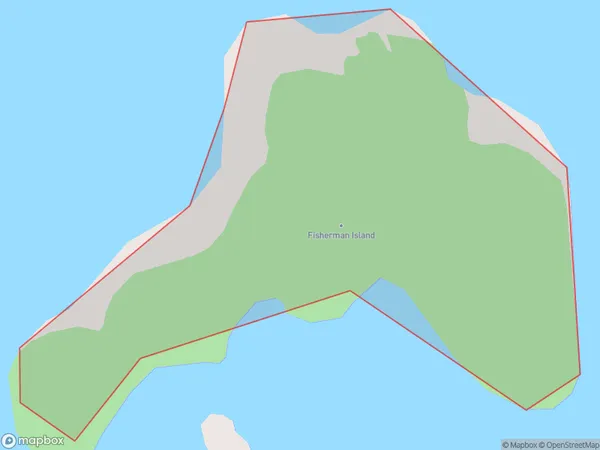
0 people live in Fisherman Island, Tasman, NZFisherman Island Suburb Area Map (Polygon)
Fisherman Island Introduction
Fisherman Island is located in the D'Entrecasteaux Channel in the Tasman region of New Zealand. It is a small island with a population of approximately 50 people. The island is known for its scenic beauty, including rugged cliffs, lush forests, and pristine beaches. The island has a rich history, with evidence of human settlement dating back to the 13th century. It was once used as a penal colony and later as a farm. Today, the island is a popular tourist destination, with visitors coming to enjoy the natural beauty, wildlife, and fishing opportunities.Region
Suburb Name
Fisherman IslandOther Name(s)
Tasman BayFisherman Island Area Map (Street)

Local Authority
Tasman DistrictFull Address
Fisherman Island, Tasman District, New ZealandAddress Type
IslandFisherman Island Suburb Map (Satellite)

Country
Main Region in AU
TasmanFisherman Island Region Map

Coordinates
-40.99288045,173.051087682019 (latitude/longitude)Distances
The distance from Fisherman Island, , Tasman District to NZ Top 10 Cities