Glenholme Area, Glenholme Postcode(3010) & Map in Glenholme
Glenholme Area, Glenholme Postcode(3010) & Map in Glenholme, Rotorua District, New Zealand
Glenholme, Rotorua District, New Zealand
Glenholme Area (estimated)
2.5 square kilometersGlenholme Population (estimated)
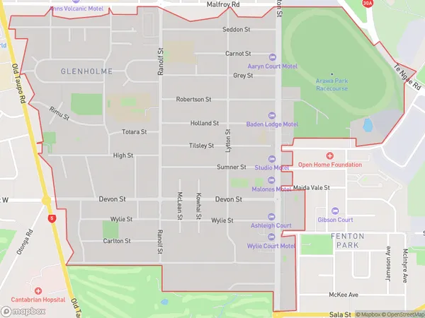
4525 people live in Glenholme, Rotorua, NZGlenholme Suburb Area Map (Polygon)
Glenholme Introduction
Glenholme is a small rural community in Rotorua, Bay of Plenty, New Zealand. It is known for its beautiful natural surroundings, including lush forests, hot springs, and a picturesque lake. The community has a strong sense of community and is home to a variety of recreational facilities, including a golf course and a community hall.Region
Major City
Suburb Name
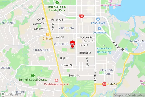
GlenholmeGlenholme Area Map (Street)
Local Authority
Rotorua DistrictFull Address
Glenholme, Rotorua District, New ZealandAddress Type
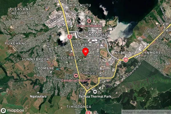
Suburb in City RotoruaGlenholme Suburb Map (Satellite)
Country
Main Region in AU
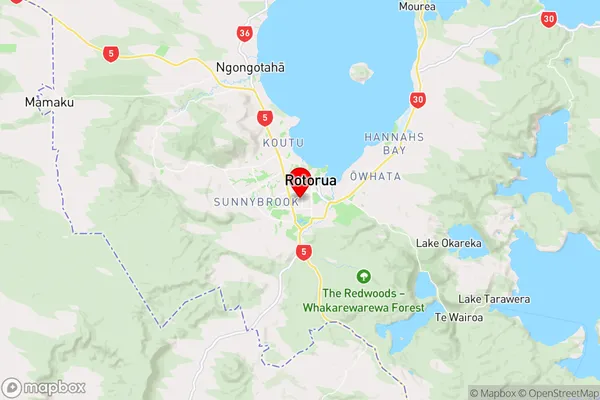
Bay of PlentyGlenholme Region Map
Coordinates
-38.1488142,176.2456704 (latitude/longitude)Distances
The distance from Glenholme, Rotorua, Rotorua District to NZ Top 10 Cities