Aratapu Area, Aratapu Postcode & Map in Aratapu
Aratapu Area, Aratapu Postcode & Map in Aratapu, Kaipara District, New Zealand
Aratapu, Kaipara District, New Zealand
Aratapu Area (estimated)
21.9 square kilometersAratapu Population (estimated)
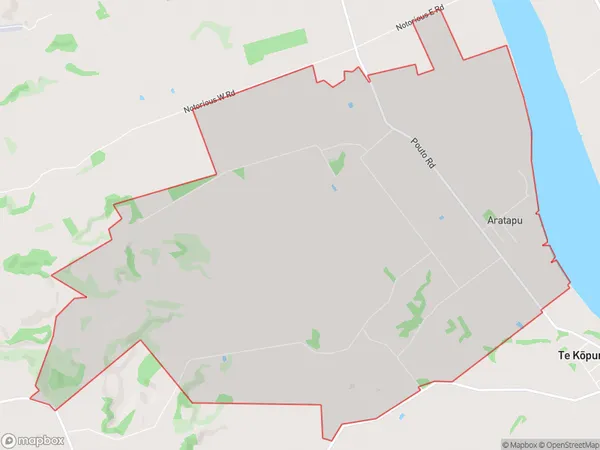
235 people live in Aratapu, Northland, NZAratapu Suburb Area Map (Polygon)
Aratapu Introduction
Aratapu is a small rural community in Northland, New Zealand. It is located on State Highway 12, approximately 12 km south of Dargaville. The community has a population of around 100 people and is known for its scenic surroundings, including the Aratapu Forest and the Aratapu River. The area is popular with outdoor enthusiasts and tourists, who enjoy hiking, fishing, and kayaking in the nearby natural attractions.Region
Major City
Suburb Name
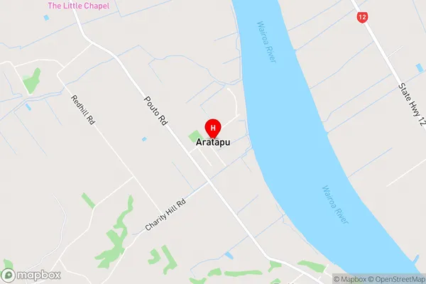
AratapuAratapu Area Map (Street)
Local Authority
Kaipara DistrictFull Address
Aratapu, Kaipara District, New ZealandAddress Type
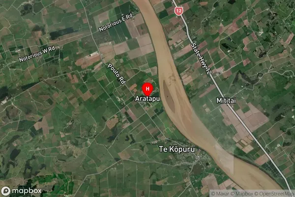
Locality in Town DargavilleAratapu Suburb Map (Satellite)
Country
Main Region in AU
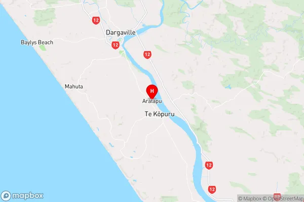
NorthlandAratapu Region Map
Coordinates
-36.0137488,173.9055585 (latitude/longitude)Distances
The distance from Aratapu, Dargaville, Kaipara District to NZ Top 10 Cities