Fergusson Island Area, Fergusson Island Postcode & Map in Fergusson Island
Fergusson Island Area, Fergusson Island Postcode & Map in Fergusson Island, Southland District, New Zealand
Fergusson Island, Southland District, New Zealand
Fergusson Island Area (estimated)
0.1 square kilometersFergusson Island Population (estimated)
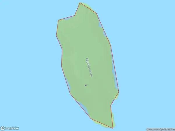
0 people live in Fergusson Island, Southland, NZFergusson Island Suburb Area Map (Polygon)
Fergusson Island Introduction
Fergusson Island is located in Fiordland National Park in Southland, New Zealand. It is a small island with a population of around 50 people and is known for its stunning natural beauty, including lush rainforests, crystal-clear lakes, and breathtaking mountain views. The island is accessible by a scenic ferry ride from Milford Sound or by helicopter. It is a popular destination for hiking, camping, and wildlife viewing, with a variety of species of birds, including kea, tui, and penguins.Region
Suburb Name
Fergusson IslandOther Name(s)
Doubtful Sound / PateaFergusson Island Area Map (Street)

Local Authority
Southland DistrictFull Address
Fergusson Island, Southland District, New ZealandAddress Type
IslandFergusson Island Suburb Map (Satellite)

Country
Main Region in AU
SouthlandFergusson Island Region Map

Coordinates
-45.39296345,167.102908651716 (latitude/longitude)Distances
The distance from Fergusson Island, , Southland District to NZ Top 10 Cities