Ernest Island Area, Ernest Island Postcode & Map in Ernest Island
Ernest Island Area, Ernest Island Postcode & Map in Ernest Island, Southland District, New Zealand
Ernest Island, Southland District, New Zealand
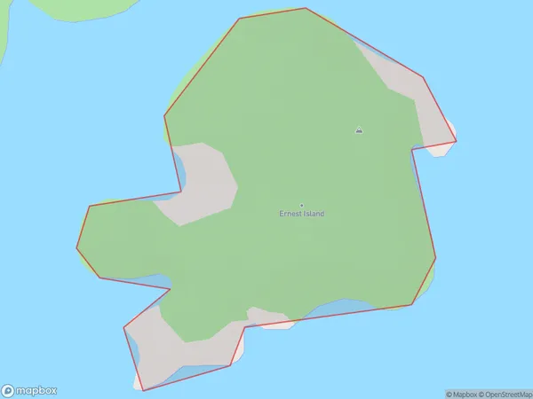
Ernest Island Area (estimated)
0.2 square kilometersErnest Island Population (estimated)
0 people live in Ernest Island, Southland, NZErnest Island Suburb Area Map (Polygon)
Ernest Island Introduction
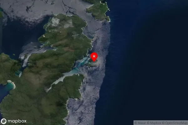
Ernest Island is a small, uninhabited island in Fiordland National Park, Southland, New Zealand. It is known for its stunning natural beauty, including rugged cliffs, lush forests, and pristine beaches. The island is a popular destination for hiking, kayaking, and wildlife viewing, with a variety of bird species and occasional seals and dolphins. It is also home to a small research station operated by the Department of Conservation.Region
Suburb Name
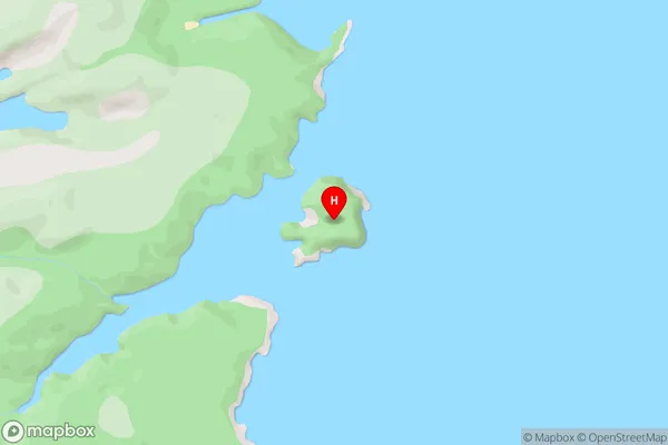
Ernest IslandErnest Island Area Map (Street)
Local Authority
Southland DistrictFull Address
Ernest Island, Southland District, New ZealandAddress Type
IslandErnest Island Suburb Map (Satellite)
Country
Main Region in AU
SouthlandErnest Island Region Map

Coordinates
-47.2395427,167.6610667 (latitude/longitude)Distances
The distance from Ernest Island, , Southland District to NZ Top 10 Cities