Erin Island Area, Erin Island Postcode & Map in Erin Island
Erin Island Area, Erin Island Postcode & Map in Erin Island, Southland District, New Zealand
Erin Island, Southland District, New Zealand
Erin Island Area (estimated)
0.8 square kilometersErin Island Population (estimated)
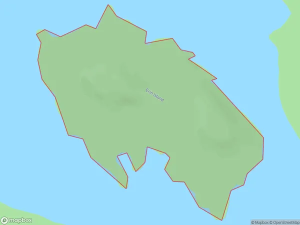
0 people live in Erin Island, Fiordland Community, NZErin Island Suburb Area Map (Polygon)
Erin Island Introduction
Erin Island is a small, uninhabited island in Fiordland National Park, Southland, New Zealand. It is located in the Dusky Sound and is part of the Southern Fiordland Islands group. The island is surrounded by steep cliffs and has a rugged coastline with numerous caves and waterfalls. It is a popular destination for hiking and wildlife viewing, with a variety of bird species and occasional seals and dolphins.Region
Major City
Suburb Name
Erin IslandOther Name(s)
Middle FiordErin Island Area Map (Street)

Local Authority
Southland DistrictFull Address
Erin Island, Southland District, New ZealandAddress Type
IslandErin Island Suburb Map (Satellite)

Country
Main Region in AU
SouthlandErin Island Region Map

Coordinates
-45.2064735,167.683192742618 (latitude/longitude)Distances
The distance from Erin Island, , Southland District to NZ Top 10 Cities