Entry Island Area, Entry Island Postcode & Map in Entry Island
Entry Island Area, Entry Island Postcode & Map in Entry Island, Southland District, New Zealand
Entry Island, Southland District, New Zealand
Entry Island Area (estimated)
0.0 square kilometersEntry Island Population (estimated)
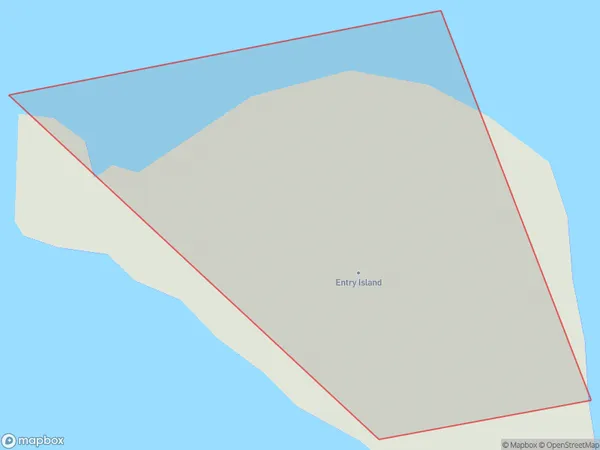
0 people live in Entry Island, Southland, NZEntry Island Suburb Area Map (Polygon)
Entry Island Introduction
Entry Island is a small island located in Fiordland National Park, Southland, New Zealand. It is known for its stunning natural beauty, including lush forests, waterfalls, and crystal-clear lakes. The island is a popular destination for hiking, camping, and wildlife viewing, with a variety of species of birds and animals native to the region. Entry Island is also home to a historic lighthouse, built in 1898 to guide ships through the narrow Fiordland waterways.Region
Suburb Name
Entry IslandOther Name(s)
Tamatea / Dusky SoundEntry Island Area Map (Street)

Local Authority
Southland DistrictFull Address
Entry Island, Southland District, New ZealandAddress Type
IslandEntry Island Suburb Map (Satellite)

Country
Main Region in AU
SouthlandEntry Island Region Map

Coordinates
-45.5957908,166.702305113977 (latitude/longitude)Distances
The distance from Entry Island, , Southland District to NZ Top 10 Cities