Entrance Island Area, Entrance Island Postcode & Map in Entrance Island
Entrance Island Area, Entrance Island Postcode & Map in Entrance Island, Area outside Territorial Authority, New Zealand
Entrance Island, Area outside Territorial Authority, New Zealand
Entrance Island Area (estimated)
0.0 square kilometersEntrance Island Population (estimated)
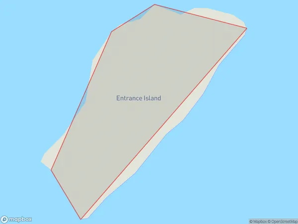
0 people live in Entrance Island, Southland, NZEntrance Island Suburb Area Map (Polygon)
Entrance Island Introduction
Entrance Island is located in Fiordland National Park, Southland, New Zealand. It is known for its stunning coastal scenery, including rugged cliffs, dense forests, and pristine beaches. The island is a popular destination for hiking, camping, and wildlife viewing, with a variety of species of birds, including the rare southern albatross. Entrance Island is also home to a historic lighthouse, built in 1898, which provides a glimpse into the island's rich history.Region
Suburb Name
Entrance IslandEntrance Island Area Map (Street)

Local Authority
Area outside Territorial AuthorityFull Address
Entrance Island, Area outside Territorial Authority, New ZealandAddress Type
IslandEntrance Island Suburb Map (Satellite)

Country
Main Region in AU
SouthlandEntrance Island Region Map

Coordinates
-45.1022741,167.022409582752 (latitude/longitude)Distances
The distance from Entrance Island, , Area outside Territorial Authority to NZ Top 10 Cities