Elizabeth Island Area, Elizabeth Island Postcode & Map in Elizabeth Island
Elizabeth Island Area, Elizabeth Island Postcode & Map in Elizabeth Island, Southland District, New Zealand
Elizabeth Island, Southland District, New Zealand
Elizabeth Island Area (estimated)
0.8 square kilometersElizabeth Island Population (estimated)
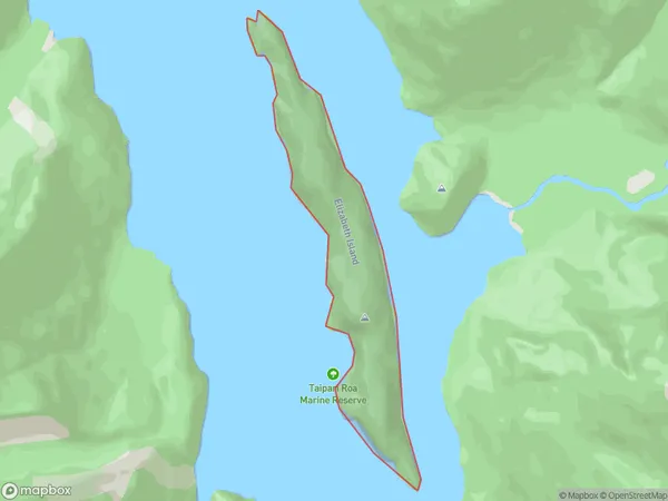
0 people live in Elizabeth Island, Fiordland Community, NZElizabeth Island Suburb Area Map (Polygon)
Elizabeth Island Introduction
Elizabeth Island is a small island in Fiordland National Park, Southland, New Zealand. It is known for its stunning natural beauty, including snow-capped mountains, crystal-clear lakes, and lush rainforests. The island is home to a variety of wildlife, including kea, tui, and penguins. Visitors can reach the island by a scenic ferry ride from Milford Sound or by helicopter.Region
Major City
Suburb Name
Elizabeth IslandOther Name(s)
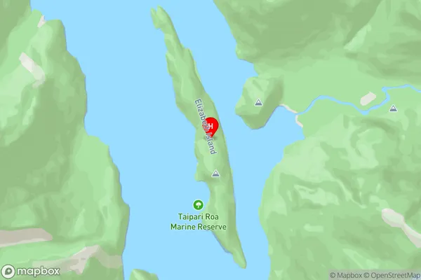
Doubtful Sound / PateaElizabeth Island Area Map (Street)
Local Authority
Southland DistrictFull Address
Elizabeth Island, Southland District, New ZealandAddress Type
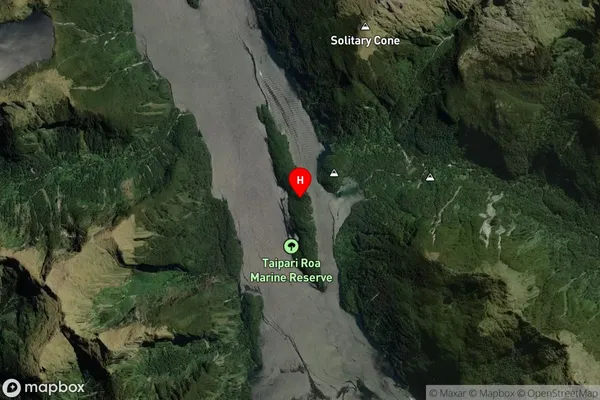
IslandElizabeth Island Suburb Map (Satellite)
Country
Main Region in AU
SouthlandElizabeth Island Region Map

Coordinates
-45.41897325,167.122067037275 (latitude/longitude)Distances
The distance from Elizabeth Island, , Southland District to NZ Top 10 Cities