Eleanor Island Area, Eleanor Island Postcode & Map in Eleanor Island
Eleanor Island Area, Eleanor Island Postcode & Map in Eleanor Island, Southland District, New Zealand
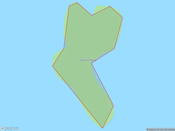
Eleanor Island, Southland District, New Zealand
Eleanor Island Area (estimated)
0.1 square kilometersEleanor Island Population (estimated)
0 people live in Eleanor Island, Southland, NZEleanor Island Suburb Area Map (Polygon)
Eleanor Island Introduction
Eleanor Island is a small island in Fiordland National Park, Southland, New Zealand. It is known for its stunning natural beauty, including waterfalls, forests, and a variety of wildlife. The island is accessible by a scenic ferry ride from Milford Sound. Visitors can explore the island's historic ruins, including a former prison colony and a Scottish settlement. The island is also a popular spot for hiking, camping, and fishing.Region
Suburb Name
Eleanor IslandOther Name(s)
Taiporoporo / Charles SoundEleanor Island Area Map (Street)

Local Authority
Southland DistrictFull Address
Eleanor Island, Southland District, New ZealandAddress Type
IslandEleanor Island Suburb Map (Satellite)

Country
Main Region in AU
SouthlandEleanor Island Region Map

Coordinates
-45.09871825,167.141009951228 (latitude/longitude)Distances
The distance from Eleanor Island, , Southland District to NZ Top 10 Cities