Motunui / Edwards Island Area, Motunui / Edwards Island Postcode & Map in Motunui / Edwards Island
Motunui / Edwards Island Area, Motunui / Edwards Island Postcode & Map in Motunui / Edwards Island, Southland District, New Zealand
Motunui / Edwards Island, Southland District, New Zealand
Motunui / Edwards Island Area (estimated)
0.6 square kilometersMotunui / Edwards Island Population (estimated)
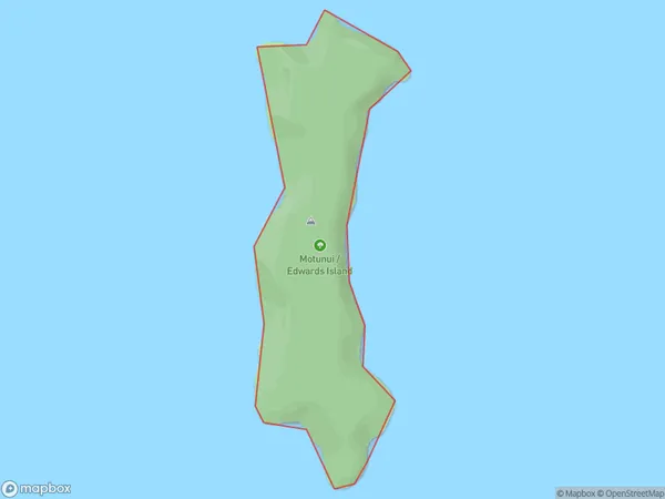
0 people live in Motunui / Edwards Island, Southland, NZMotunui / Edwards Island Suburb Area Map (Polygon)
Motunui / Edwards Island Introduction
Motunui / Edwards Island is a small, uninhabited island in Fiordland National Park, Southland, New Zealand. It is known for its stunning natural beauty, including rugged mountain terrain, dense forests, and crystal-clear lakes. The island is a popular destination for hiking, camping, and wildlife viewing, with a variety of species of birds, including kea, tui, and penguins. Motunui / Edwards Island is also home to a small community of seals, who can be seen basking on the rocks and swimming in the surrounding waters.Region
Suburb Name
Motunui / Edwards IslandOther Name(s)
Titi / Muttonbird Islands, Edwards Island, Motunui (Maori Name: Tītī / Muttonbird Islands, Edwards Island, Motunui)Motunui / Edwards Island Area Map (Street)

Local Authority
Southland DistrictFull Address
Motunui / Edwards Island, Southland District, New ZealandAddress Type
IslandMotunui / Edwards Island Suburb Map (Satellite)

Country
Main Region in AU
SouthlandMotunui / Edwards Island Region Map

Coordinates
-46.834802,168.21757556068 (latitude/longitude)Distances
The distance from Motunui / Edwards Island, , Southland District to NZ Top 10 Cities