Whangaokeno / East Island Area, Whangaokeno / East Island Postcode(4010) & Map in Whangaokeno / East Island
Whangaokeno / East Island Area, Whangaokeno / East Island Postcode(4010) & Map in Whangaokeno / East Island, Gisborne District, New Zealand
Whangaokeno / East Island, Gisborne District, New Zealand
Whangaokeno / East Island Postcodes
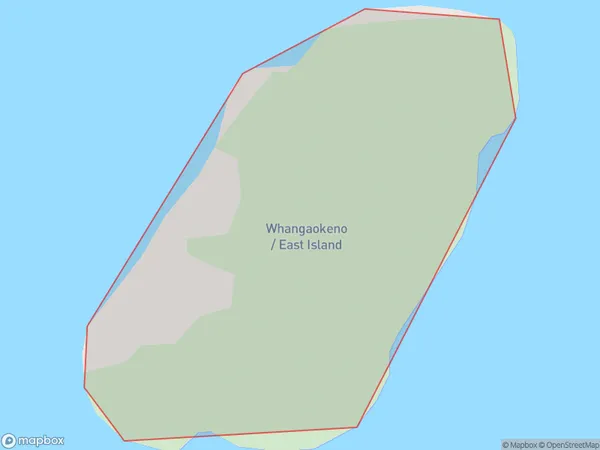
Whangaokeno / East Island Area (estimated)
0.2 square kilometersWhangaokeno / East Island Population (estimated)
0 people live in Whangaokeno / East Island, Gisborne, NZWhangaokeno / East Island Suburb Area Map (Polygon)
Whangaokeno / East Island Introduction
Whangaokeno / East Island is a small rural community located on the eastern coast of the Gisborne region in New Zealand. It is known for its stunning natural beauty, including pristine beaches, lush forests, and crystal-clear rivers. The community is home to a small population of around 100 people and is surrounded by farmland and picturesque countryside. The area is popular with tourists and outdoor enthusiasts who enjoy hiking, fishing, and kayaking.Region
Suburb Name
Whangaokeno / East IslandOther Name(s)
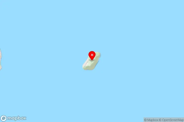
East Island, Whangaokeno IslandWhangaokeno / East Island Area Map (Street)
Local Authority
Gisborne DistrictFull Address
Whangaokeno / East Island, Gisborne District, New ZealandAddress Type
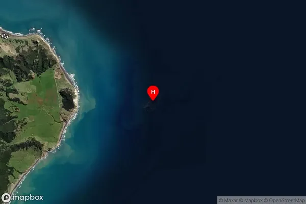
IslandWhangaokeno / East Island Suburb Map (Satellite)
Country
Main Region in AU
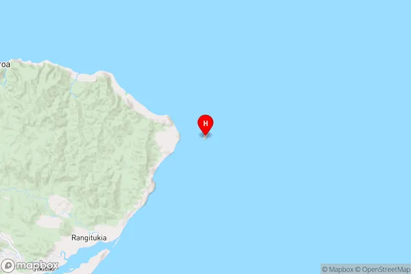
GisborneWhangaokeno / East Island Region Map
Coordinates
-37.69094735,178.575729657845 (latitude/longitude)Distances
The distance from Whangaokeno / East Island, , Gisborne District to NZ Top 10 Cities