Dryad Island Area, Dryad Island Postcode & Map in Dryad Island
Dryad Island Area, Dryad Island Postcode & Map in Dryad Island, Southland District, New Zealand
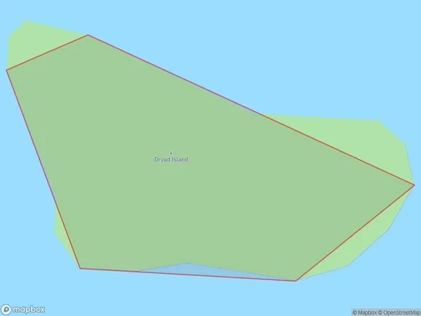
Dryad Island, Southland District, New Zealand
Dryad Island Area (estimated)
0.0 square kilometersDryad Island Population (estimated)
0 people live in Dryad Island, Southland, NZDryad Island Suburb Area Map (Polygon)
Dryad Island Introduction
Dryad Island is a small island located in Fiordland National Park in Southland, New Zealand. It is known for its stunning natural beauty, including lush forests, waterfalls, and crystal-clear lakes. The island is home to a variety of wildlife, including rare species of birds and insects. Visitors can access the island by boat or hike through a scenic trail.Region
Suburb Name
Dryad IslandOther Name(s)
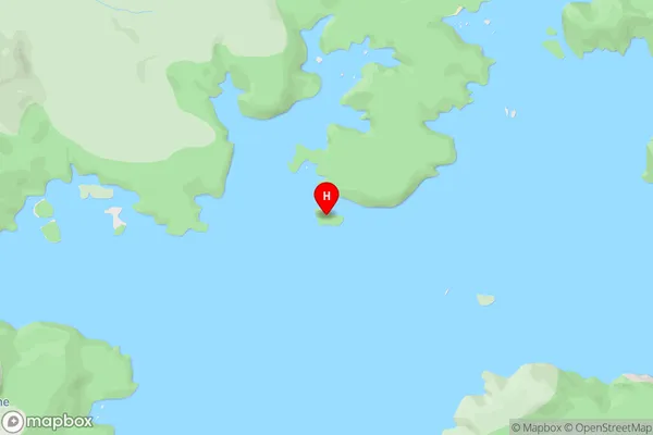
Port Pegasus / PikihatitiDryad Island Area Map (Street)
Local Authority
Southland DistrictFull Address
Dryad Island, Southland District, New ZealandAddress Type
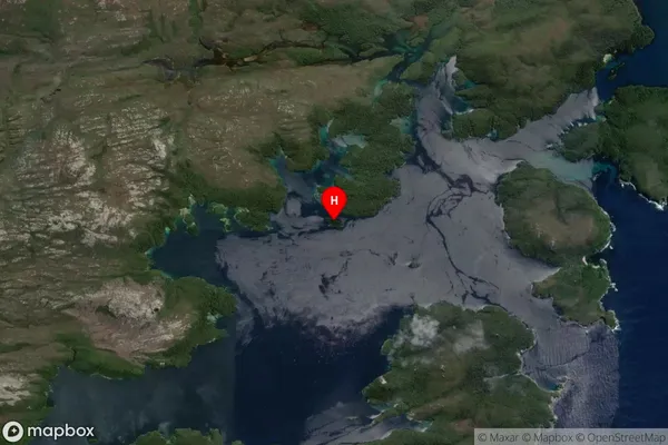
IslandDryad Island Suburb Map (Satellite)
Country
Main Region in AU
SouthlandDryad Island Region Map

Coordinates
-47.2130745,167.6261712 (latitude/longitude)Distances
The distance from Dryad Island, , Southland District to NZ Top 10 Cities