Doubtful Island Area, Doubtful Island Postcode & Map in Doubtful Island
Doubtful Island Area, Doubtful Island Postcode & Map in Doubtful Island, Southland District, New Zealand
Doubtful Island, Southland District, New Zealand
Doubtful Island Area (estimated)
1.6 square kilometersDoubtful Island Population (estimated)
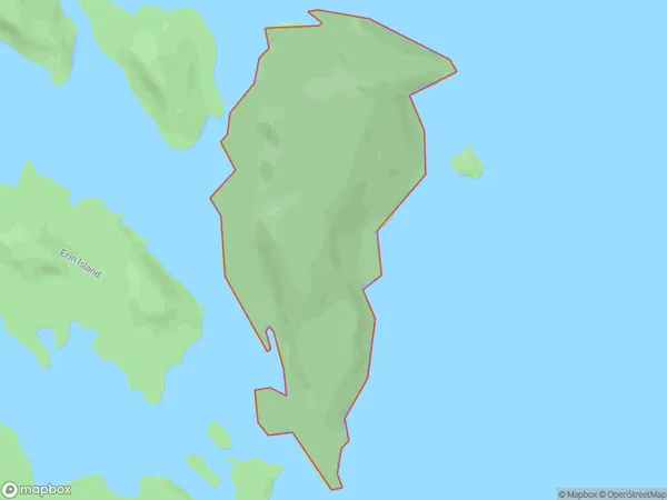
0 people live in Doubtful Island, Fiordland Community, NZDoubtful Island Suburb Area Map (Polygon)
Doubtful Island Introduction
Doubtful Island is a small island in Fiordland National Park, Southland, New Zealand. It is known for its stunning natural beauty, including rugged cliffs, dense forests, and pristine lakes. The island is home to a variety of wildlife, including seals, penguins, and kea. Visitors can reach the island by boat or hike through a scenic trail.Region
Major City
Suburb Name
Doubtful IslandOther Name(s)
Middle FiordDoubtful Island Area Map (Street)

Local Authority
Southland DistrictFull Address
Doubtful Island, Southland District, New ZealandAddress Type
IslandDoubtful Island Suburb Map (Satellite)

Country
Main Region in AU
SouthlandDoubtful Island Region Map

Coordinates
-45.20519035,167.696403687114 (latitude/longitude)Distances
The distance from Doubtful Island, , Southland District to NZ Top 10 Cities