Double Island / Moturehu Area, Double Island / Moturehu Postcode(3500) & Map in Double Island / Moturehu
Double Island / Moturehu Area, Double Island / Moturehu Postcode(3500) & Map in Double Island / Moturehu, Thames-Coromandel District, New Zealand
Double Island / Moturehu, Thames-Coromandel District, New Zealand
Double Island / Moturehu Postcodes
Double Island / Moturehu Area (estimated)
0.4 square kilometersDouble Island / Moturehu Population (estimated)
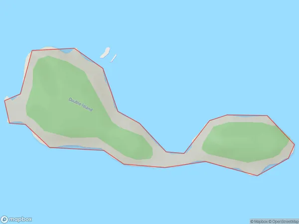
0 people live in Double Island / Moturehu, Waikato, NZDouble Island / Moturehu Suburb Area Map (Polygon)
Double Island / Moturehu Introduction
Double Island / Moturehu is a small, uninhabited island in the Waikato region of New Zealand. It is part of the Moturehu Island Group and is situated in the Bay of Islands. The island is approximately 1.5 km long and 0.5 km wide and is surrounded by clear waters and rugged cliffs. It is a popular destination for fishing, kayaking, and snorkeling and is known for its stunning natural beauty and peaceful atmosphere.Region
Suburb Name
Double Island / MoturehuOther Name(s)
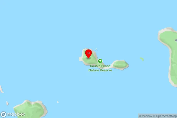
Mercury Islands, Double Island, MoturehuDouble Island / Moturehu Area Map (Street)
Local Authority
Thames-Coromandel DistrictFull Address
Double Island / Moturehu, Thames-Coromandel District, New ZealandAddress Type
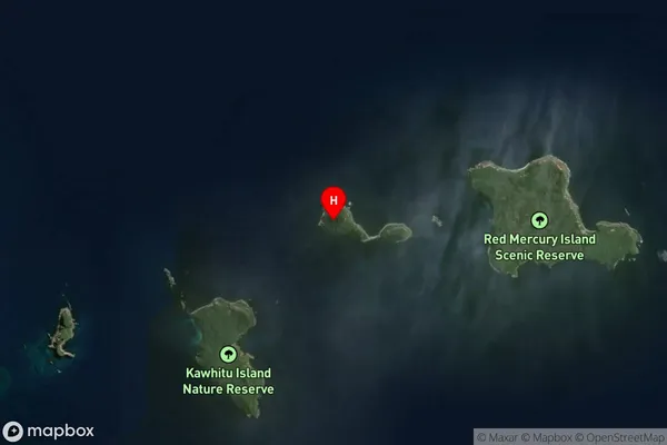
IslandDouble Island / Moturehu Suburb Map (Satellite)
Country
Main Region in AU
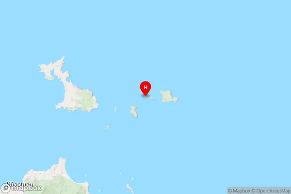
WaikatoDouble Island / Moturehu Region Map
Coordinates
-36.6239248,175.902503464137 (latitude/longitude)Distances
The distance from Double Island / Moturehu, , Thames-Coromandel District to NZ Top 10 Cities