Curlew Island Area, Curlew Island Postcode & Map in Curlew Island
Curlew Island Area, Curlew Island Postcode & Map in Curlew Island, Southland District, New Zealand
Curlew Island, Southland District, New Zealand
Curlew Island Area (estimated)
0.1 square kilometersCurlew Island Population (estimated)
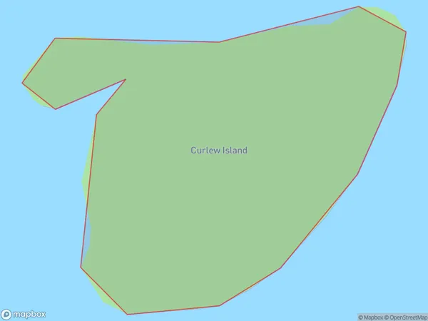
0 people live in Curlew Island, Southland, NZCurlew Island Suburb Area Map (Polygon)
Curlew Island Introduction
Curlew Island is located in Fiordland National Park in Southland, New Zealand. It is known for its stunning natural beauty, including golden beaches, crystal-clear waters, and diverse wildlife. The island is a popular destination for hiking, kayaking, and birdwatching, with over 100 species of birds recorded on the island. It is also home to a small community of people who live off the land and rely on fishing and tourism for their livelihood.Region
Suburb Name
Curlew IslandOther Name(s)
Tamatea / Dusky SoundCurlew Island Area Map (Street)

Local Authority
Southland DistrictFull Address
Curlew Island, Southland District, New ZealandAddress Type
IslandCurlew Island Suburb Map (Satellite)

Country
Main Region in AU
SouthlandCurlew Island Region Map

Coordinates
-45.7865425,166.612903797241 (latitude/longitude)Distances
The distance from Curlew Island, , Southland District to NZ Top 10 Cities