Cumbrae Island Area, Cumbrae Island Postcode & Map in Cumbrae Island
Cumbrae Island Area, Cumbrae Island Postcode & Map in Cumbrae Island, Southland District, New Zealand
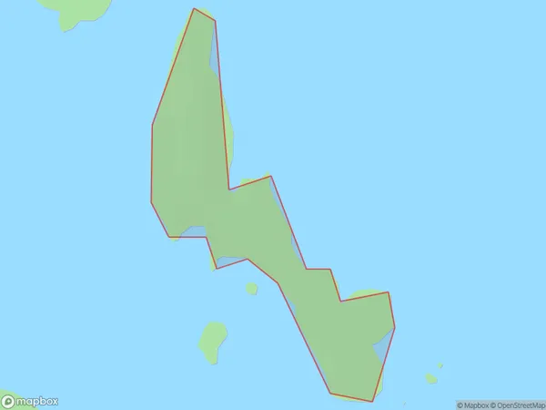
Cumbrae Island, Southland District, New Zealand
Cumbrae Island Area (estimated)
0.1 square kilometersCumbrae Island Population (estimated)
0 people live in Cumbrae Island, Fiordland Community, NZCumbrae Island Suburb Area Map (Polygon)
Cumbrae Island Introduction
Cumbrae Island is located in Fiordland National Park in Southland, New Zealand. It is a small, rocky island with a population of around 100 people. The island is known for its stunning natural beauty, including rugged cliffs, lush forests, and crystal-clear waters. Cumbrae Island is a popular destination for hiking, fishing, and wildlife watching. The island has a rich history, with evidence of human settlement dating back to the early 19th century.Region
Major City
Suburb Name
Cumbrae IslandOther Name(s)
Middle FiordCumbrae Island Area Map (Street)

Local Authority
Southland DistrictFull Address
Cumbrae Island, Southland District, New ZealandAddress Type
IslandCumbrae Island Suburb Map (Satellite)

Country
Main Region in AU
SouthlandCumbrae Island Region Map

Coordinates
-45.1696178,167.632068834741 (latitude/longitude)Distances
The distance from Cumbrae Island, , Southland District to NZ Top 10 Cities