Crown Island Area, Crown Island Postcode & Map in Crown Island
Crown Island Area, Crown Island Postcode & Map in Crown Island, Area outside Territorial Authority, New Zealand
Crown Island, Area outside Territorial Authority, New Zealand
Crown Island Area (estimated)
0.0 square kilometersCrown Island Population (estimated)
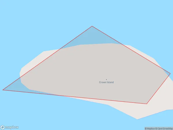
0 people live in Crown Island, Canterbury, NZCrown Island Suburb Area Map (Polygon)
Crown Island Introduction
Crown Island is a small island in the Canterbury region of New Zealand. It is part of the Hurunui District and is located in the Ashley River. The island has a population of around 100 people and is known for its scenic views, wildlife, and peaceful atmosphere. The island has a variety of accommodation options, including a hotel and a campground. Visitors can explore the island on foot, by bike, or by boat, and there are several walking trails and beaches to enjoy.Region
Suburb Name
Crown IslandCrown Island Area Map (Street)

Local Authority
Area outside Territorial AuthorityFull Address
Crown Island, Area outside Territorial Authority, New ZealandAddress Type
IslandCrown Island Suburb Map (Satellite)

Country
Main Region in AU
CanterburyCrown Island Region Map

Coordinates
-43.7951825,173.113825774884 (latitude/longitude)Distances
The distance from Crown Island, , Area outside Territorial Authority to NZ Top 10 Cities