Crayfish Island Area, Crayfish Island Postcode & Map in Crayfish Island
Crayfish Island Area, Crayfish Island Postcode & Map in Crayfish Island, Southland District, New Zealand
Crayfish Island, Southland District, New Zealand
Crayfish Island Area (estimated)
0.1 square kilometersCrayfish Island Population (estimated)
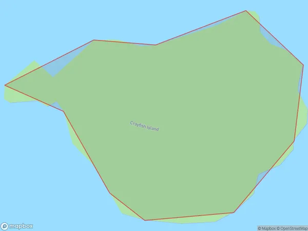
0 people live in Crayfish Island, Southland, NZCrayfish Island Suburb Area Map (Polygon)
Crayfish Island Introduction
Crayfish Island is a small island in Fiordland National Park, Southland, New Zealand. It is known for its crayfish population, which is a significant source of food for local people and tourists. The island has a rugged landscape and is accessible only by boat or a short walk from the shore.Region
Suburb Name
Crayfish IslandOther Name(s)
Paterson Inlet/Whaka a Te WeraCrayfish Island Area Map (Street)

Local Authority
Southland DistrictFull Address
Crayfish Island, Southland District, New ZealandAddress Type
IslandCrayfish Island Suburb Map (Satellite)

Country
Main Region in AU
SouthlandCrayfish Island Region Map

Coordinates
-45.79158405,166.576909305862 (latitude/longitude)Distances
The distance from Crayfish Island, , Southland District to NZ Top 10 Cities