Cow Island Area, Cow Island Postcode & Map in Cow Island
Cow Island Area, Cow Island Postcode & Map in Cow Island, Area outside Territorial Authority, New Zealand
Cow Island, Area outside Territorial Authority, New Zealand
Cow Island Area (estimated)
0.0 square kilometersCow Island Population (estimated)
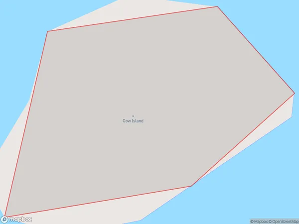
0 people live in Cow Island, Waikato, NZCow Island Suburb Area Map (Polygon)
Cow Island Introduction
Cow Island is a small island in the Waikato River, located in the Waikato region of New Zealand. It is known for its scenic beauty, with lush green fields, trees, and a peaceful atmosphere. The island is a popular spot for outdoor activities such as hiking, cycling, and fishing, and is home to a variety of bird species. It is also a popular filming location, with several movies and TV shows having been shot on the island over the years.Region
Suburb Name
Cow IslandOther Name(s)
Hauraki GulfCow Island Area Map (Street)

Local Authority
Area outside Territorial AuthorityFull Address
Cow Island, Area outside Territorial Authority, New ZealandAddress Type
IslandCow Island Suburb Map (Satellite)

Country
Main Region in AU
WaikatoCow Island Region Map

Coordinates
-36.80539555,175.401955627163 (latitude/longitude)Distances
The distance from Cow Island, , Area outside Territorial Authority to NZ Top 10 Cities