Cosgrove Island Area, Cosgrove Island Postcode & Map in Cosgrove Island
Cosgrove Island Area, Cosgrove Island Postcode & Map in Cosgrove Island, Area outside Territorial Authority, New Zealand
Cosgrove Island, Area outside Territorial Authority, New Zealand
Cosgrove Island Area (estimated)
0.1 square kilometersCosgrove Island Population (estimated)
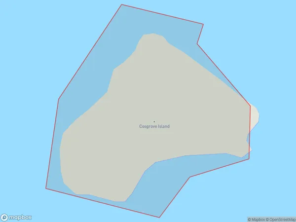
0 people live in Cosgrove Island, Otago, NZCosgrove Island Suburb Area Map (Polygon)
Cosgrove Island Introduction
Cosgrove Island is a small island located in the Foveaux Strait, south of Dunedin, New Zealand. It is part of the Otago Peninsula and is known for its scenic beauty, including its rugged coastline, picturesque beaches, and diverse wildlife. The island is home to a small population of humans and is a popular destination for outdoor activities such as hiking, fishing, and birdwatching. It is also a protected area under the New Zealand Department of Conservation, with strict rules in place to protect its natural and cultural heritage.Region
Suburb Name
Cosgrove IslandCosgrove Island Area Map (Street)

Local Authority
Area outside Territorial AuthorityFull Address
Cosgrove Island, Area outside Territorial Authority, New ZealandAddress Type
IslandCosgrove Island Suburb Map (Satellite)

Country
Main Region in AU
OtagoCosgrove Island Region Map

Coordinates
-46.55866095,169.615854759096 (latitude/longitude)Distances
The distance from Cosgrove Island, , Area outside Territorial Authority to NZ Top 10 Cities