Coppermine Island Area, Coppermine Island Postcode & Map in Coppermine Island
Coppermine Island Area, Coppermine Island Postcode & Map in Coppermine Island, Whangarei District, New Zealand
Coppermine Island, Whangarei District, New Zealand
Coppermine Island Area (estimated)
0.9 square kilometersCoppermine Island Population (estimated)
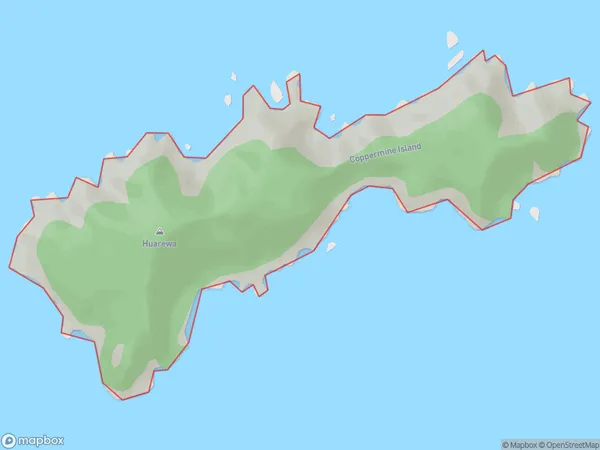
0 people live in Coppermine Island, Northland, NZCoppermine Island Suburb Area Map (Polygon)
Coppermine Island Introduction
Coppermine Island is a small island in the Bay of Islands, Northland, New Zealand. It is known for its historic copper mining operations and is a popular tourist destination. The island has a population of around 50 people and is accessible by ferry from Paihia.Region
Suburb Name
Coppermine IslandOther Name(s)
Marotere Islands, Hen And Chicken IslandsCoppermine Island Area Map (Street)

Local Authority
Whangarei DistrictFull Address
Coppermine Island, Whangarei District, New ZealandAddress Type
IslandCoppermine Island Suburb Map (Satellite)

Country
Main Region in AU
NorthlandCoppermine Island Region Map

Coordinates
-35.8894407,174.768962662956 (latitude/longitude)Distances
The distance from Coppermine Island, , Whangarei District to NZ Top 10 Cities