Cooper Island Area, Cooper Island Postcode & Map in Cooper Island
Cooper Island Area, Cooper Island Postcode & Map in Cooper Island, Southland District, New Zealand
Cooper Island, Southland District, New Zealand
Cooper Island Area (estimated)
21.2 square kilometersCooper Island Population (estimated)
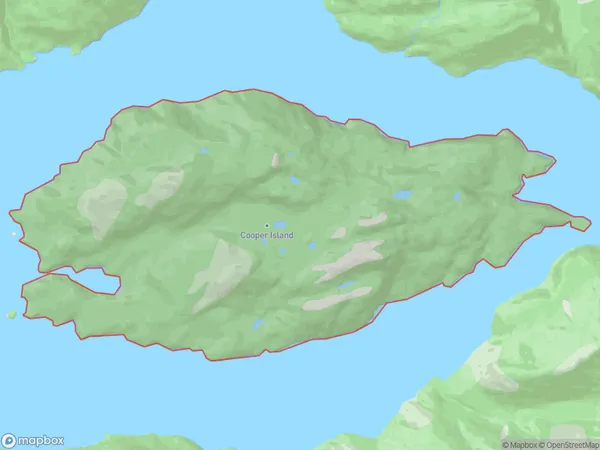
0 people live in Cooper Island, Southland, NZCooper Island Suburb Area Map (Polygon)
Cooper Island Introduction
Cooper Island is a small, uninhabited island in Fiordland National Park, Southland, New Zealand. It is known for its stunning natural beauty, including rugged cliffs, lush forests, and crystal-clear waters. The island is a popular destination for hiking, kayaking, and wildlife viewing, with a variety of bird species and occasional seals and dolphins. It is also part of the Te Wahipounamu World Heritage Area.Region
Suburb Name
Cooper IslandOther Name(s)
Tamatea / Dusky SoundCooper Island Area Map (Street)

Local Authority
Southland DistrictFull Address
Cooper Island, Southland District, New ZealandAddress Type
IslandCooper Island Suburb Map (Satellite)

Country
Main Region in AU
SouthlandCooper Island Region Map

Coordinates
-45.7348333,166.836213991056 (latitude/longitude)Distances
The distance from Cooper Island, , Southland District to NZ Top 10 Cities