Cone Island Area, Cone Island Postcode & Map in Cone Island
Cone Island Area, Cone Island Postcode & Map in Cone Island, Marlborough District, New Zealand
Cone Island, Marlborough District, New Zealand
Cone Island Area (estimated)
0.0 square kilometersCone Island Population (estimated)
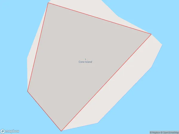
0 people live in Cone Island, Marlborough, NZCone Island Suburb Area Map (Polygon)
Cone Island Introduction
Cone Island is located in the Marlborough Sounds of New Zealand. It is a popular spot for outdoor activities such as hiking, kayaking, and fishing. The island has a rich history and was once home to a Maori tribe. It is also known for its stunning natural beauty, including rugged cliffs, lush forests, and crystal-clear waters. Cone Island is accessible by boat or ferry from Blenheim or Marlborough.Region
0Suburb Name
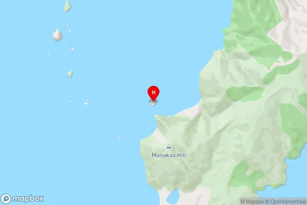
Cone IslandCone Island Area Map (Street)
Local Authority
Marlborough DistrictFull Address
Cone Island, Marlborough District, New ZealandAddress Type
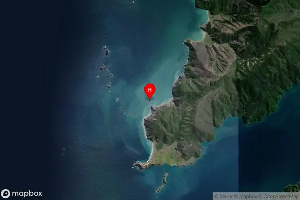
Island in Major Locality Marlborough SoundsCone Island Suburb Map (Satellite)
Country
Main Region in AU
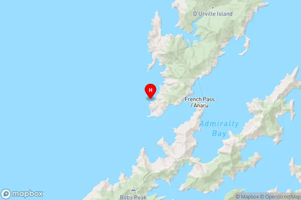
MarlboroughCone Island Region Map
Coordinates
-40.9245198,173.776107679553 (latitude/longitude)Distances
The distance from Cone Island, Marlborough Sounds, Marlborough District to NZ Top 10 Cities