Cone Island Area, Cone Island Postcode & Map in Cone Island
Cone Island Area, Cone Island Postcode & Map in Cone Island, Far North District, New Zealand
Cone Island, Far North District, New Zealand
Cone Island Area (estimated)
0.1 square kilometersCone Island Population (estimated)
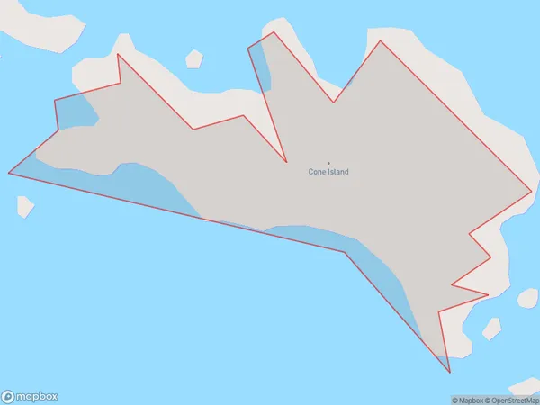
0 people live in Cone Island, Northland, NZCone Island Suburb Area Map (Polygon)
Cone Island Introduction
Cone Island is located in the Bay of Islands, Northland, New Zealand. It is a small, rocky island with a population of around 100 people. The island is known for its scenic beauty, including its beaches, cliffs, and native forest. Cone Island is also home to a variety of bird species, including the rare North Island brown kiwi. The island has a rich history, with evidence of human settlement dating back to the 13th century. It was used as a whaling station in the 19th century and was later used as a military base during World War II. Today, Cone Island is a popular tourist destination, with visitors coming to explore its natural beauty, historic sites, and wildlife.Region
Suburb Name
Cone IslandOther Name(s)
Whangaroa BayCone Island Area Map (Street)

Local Authority
Far North DistrictFull Address
Cone Island, Far North District, New ZealandAddress Type
IslandCone Island Suburb Map (Satellite)

Country
Main Region in AU
NorthlandCone Island Region Map

Coordinates
-34.9534933,173.767627873202 (latitude/longitude)Distances
The distance from Cone Island, , Far North District to NZ Top 10 Cities