Coal Island Area, Coal Island Postcode & Map in Coal Island
Coal Island Area, Coal Island Postcode & Map in Coal Island, Southland District, New Zealand
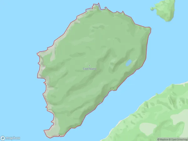
Coal Island, Southland District, New Zealand
Coal Island Area (estimated)
14.3 square kilometersCoal Island Population (estimated)
0 people live in Coal Island, Southland, NZCoal Island Suburb Area Map (Polygon)
Coal Island Introduction
Coal Island is a small, uninhabited island in Fiordland, Southland, New Zealand. It is located in the Foveaux Strait and is part of the Dusky Sound group of islands. The island is surrounded by steep cliffs and is accessible only by boat. Coal Island is a popular destination for hiking and wildlife viewing, with a variety of bird species and marine mammals including seals and dolphins.Region
Suburb Name
Coal IslandCoal Island Area Map (Street)

Local Authority
Southland DistrictFull Address
Coal Island, Southland District, New ZealandAddress Type
IslandCoal Island Suburb Map (Satellite)

Country
Main Region in AU
SouthlandCoal Island Region Map

Coordinates
-46.11816145,166.627010215227 (latitude/longitude)Distances
The distance from Coal Island, , Southland District to NZ Top 10 Cities