Clara Island Area, Clara Island Postcode & Map in Clara Island
Clara Island Area, Clara Island Postcode & Map in Clara Island, Marlborough District, New Zealand
Clara Island, Marlborough District, New Zealand
- 0
Clara Island Population (estimated)
0 people live in Clara Island, Marlborough, NZ0Clara Island Introduction
Clara Island is located in the Marlborough Sounds of New Zealand. It is a popular destination for day trips and overnight stays due to its scenic beauty, wildlife, and recreational opportunities. The island has a population of around 200 people and is home to a variety of bird species, including the rare New Zealand bittern. Visitors can explore the island's walking trails, beaches, and historic ruins. The island also has a campground and a small hotel.Region
0Suburb Name
Clara IslandOther Name(s)
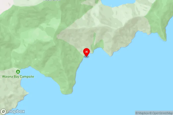
Waitata Reach (Maori Name: Waitātā Reach)Clara Island Area Map (Street)
Local Authority
Marlborough DistrictFull Address
Clara Island, Marlborough District, New ZealandAddress Type
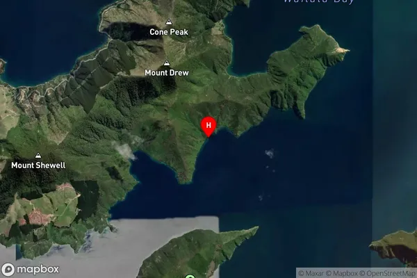
Island in Major Locality Marlborough SoundsClara Island Suburb Map (Satellite)
Country
Main Region in AU
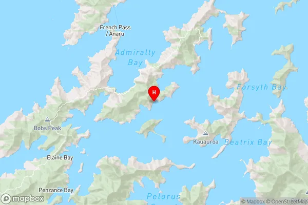
MarlboroughClara Island Region Map
Coordinates
-40.99973235,173.895180765138 (latitude/longitude)Distances
The distance from Clara Island, Marlborough Sounds, Marlborough District to NZ Top 10 Cities