Channel Island Area, Channel Island Postcode(3500) & Map in Channel Island
Channel Island Area, Channel Island Postcode(3500) & Map in Channel Island, Thames-Coromandel District, New Zealand
Channel Island, Thames-Coromandel District, New Zealand
Channel Island Postcodes
Channel Island Area (estimated)
0.0 square kilometersChannel Island Population (estimated)
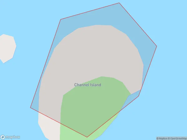
0 people live in Channel Island, Waikato, NZChannel Island Suburb Area Map (Polygon)
Channel Island Introduction
Channel Island is a small, uninhabited island in the Waikato River, New Zealand. It is part of the Waikato Islands archipelago and is known for its scenic beauty, including rugged cliffs, lush forests, and pristine beaches. The island is a popular destination for outdoor activities such as hiking, kayaking, and birdwatching, and is also home to a variety of wildlife, including native birds and seals.Region
Suburb Name
Channel IslandOther Name(s)
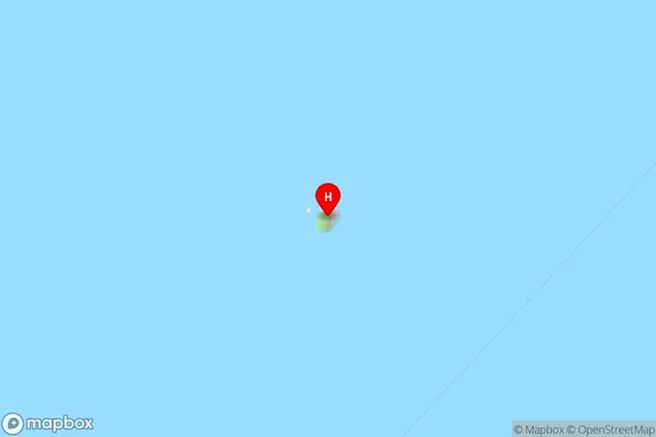
Hauraki GulfChannel Island Area Map (Street)
Local Authority
Thames-Coromandel DistrictFull Address
Channel Island, Thames-Coromandel District, New ZealandAddress Type
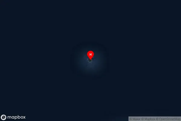
IslandChannel Island Suburb Map (Satellite)
Country
Main Region in AU
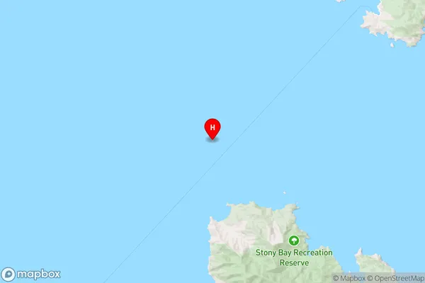
WaikatoChannel Island Region Map
Coordinates
-36.42196435,175.331263050922 (latitude/longitude)Distances
The distance from Channel Island, , Thames-Coromandel District to NZ Top 10 Cities