Cemetery Island Area, Cemetery Island Postcode & Map in Cemetery Island
Cemetery Island Area, Cemetery Island Postcode & Map in Cemetery Island, Southland District, New Zealand
Cemetery Island, Southland District, New Zealand
Cemetery Island Area (estimated)
0.0 square kilometersCemetery Island Population (estimated)
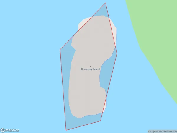
0 people live in Cemetery Island, Southland, NZCemetery Island Suburb Area Map (Polygon)
Cemetery Island Introduction
Cemetery Island is a small island in Fiordland, Southland, New Zealand. It is known for its scenic beauty, including waterfalls, forests, and a historic cemetery. The island is accessible by boat or a short walk from the shore and is a popular destination for tourists and nature lovers.Region
Suburb Name
Cemetery IslandOther Name(s)
Kisbee BayCemetery Island Area Map (Street)

Local Authority
Southland DistrictFull Address
Cemetery Island, Southland District, New ZealandAddress Type
IslandCemetery Island Suburb Map (Satellite)

Country
Main Region in AU
SouthlandCemetery Island Region Map

Coordinates
-46.1037471,166.709853126586 (latitude/longitude)Distances
The distance from Cemetery Island, , Southland District to NZ Top 10 Cities