Castle Island Area, Castle Island Postcode & Map in Castle Island
Castle Island Area, Castle Island Postcode & Map in Castle Island, Thames-Coromandel District, New Zealand
Castle Island, Thames-Coromandel District, New Zealand
Castle Island Area (estimated)
0.0 square kilometersCastle Island Population (estimated)
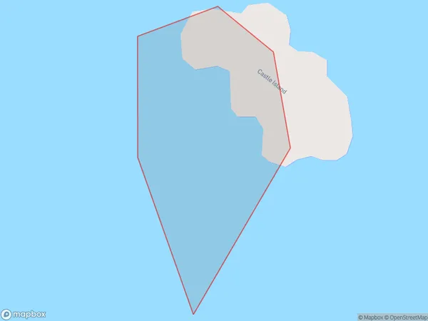
0 people live in Castle Island, Brighton, NZCastle Island Suburb Area Map (Polygon)
Castle Island Introduction
Castle Island is a small island located in the Otago Harbour, south of Dunedin, New Zealand. It is known for its stunning coastal scenery, including rugged cliffs, sandy beaches, and picturesque gardens. The island is a popular destination for hiking, birdwatching, and exploring the natural beauty of the area. It is also home to a small population of seals and penguins.Region
Major City
Suburb Name
Castle IslandOther Name(s)
Castle Rock Hot Water BeachCastle Island Area Map (Street)

Local Authority
Thames-Coromandel DistrictFull Address
Castle Island, Thames-Coromandel District, New ZealandAddress Type
IslandCastle Island Suburb Map (Satellite)

Country
Main Region in AU
OtagoCastle Island Region Map

Coordinates
-47.7646816,179.041851308623 (latitude/longitude)Distances
The distance from Castle Island, , Thames-Coromandel District to NZ Top 10 Cities