Bute Island Area, Bute Island Postcode & Map in Bute Island
Bute Island Area, Bute Island Postcode & Map in Bute Island, Southland District, New Zealand
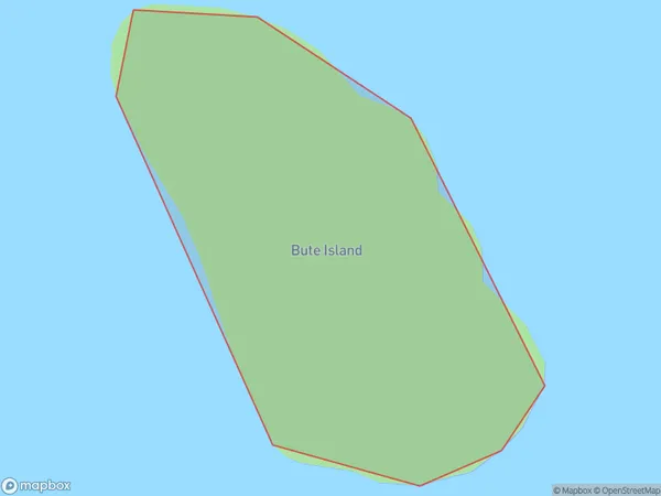
Bute Island, Southland District, New Zealand
Bute Island Area (estimated)
0.1 square kilometersBute Island Population (estimated)
0 people live in Bute Island, Fiordland Community, NZBute Island Suburb Area Map (Polygon)
Bute Island Introduction
Bute Island is located in Fiordland National Park in Southland, New Zealand. It is known for its stunning natural beauty, including rugged mountains, crystal-clear lakes, and abundant wildlife. The island is a popular destination for hiking, camping, and fishing, and is home to a small community of people who live off the land. Bute Island is also home to a variety of rare and endangered species, including the New Zealand fur seal and the southern brown kiwi.Region
Major City
Suburb Name
Bute IslandOther Name(s)
Middle FiordBute Island Area Map (Street)

Local Authority
Southland DistrictFull Address
Bute Island, Southland District, New ZealandAddress Type
IslandBute Island Suburb Map (Satellite)

Country
Main Region in AU
SouthlandBute Island Region Map

Coordinates
-45.1745279,167.660868829678 (latitude/longitude)Distances
The distance from Bute Island, , Southland District to NZ Top 10 Cities