Burnt Island Area, Burnt Island Postcode & Map in Burnt Island
Burnt Island Area, Burnt Island Postcode & Map in Burnt Island, Southland District, New Zealand
Burnt Island, Southland District, New Zealand
Burnt Island Area (estimated)
0.0 square kilometersBurnt Island Population (estimated)
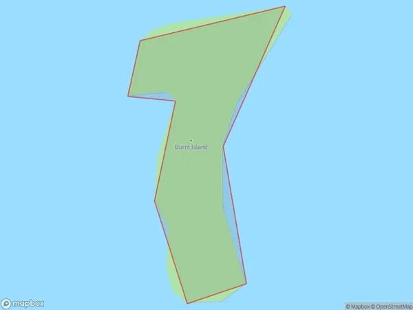
0 people live in Burnt Island, Southland, NZBurnt Island Suburb Area Map (Polygon)
Burnt Island Introduction
Burnt Island is a small island in Fiordland National Park, Southland, New Zealand. It is known for its scenic beauty, including rugged cliffs, waterfalls, and a variety of wildlife. The island is accessible by boat or a scenic walk from the nearby town of Milford Sound.Region
Suburb Name
Burnt IslandOther Name(s)
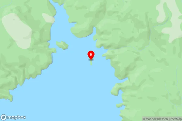
North ArmBurnt Island Area Map (Street)
Local Authority
Southland DistrictFull Address
Burnt Island, Southland District, New ZealandAddress Type
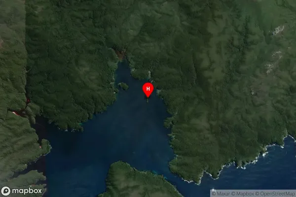
IslandBurnt Island Suburb Map (Satellite)
Country
Main Region in AU
SouthlandBurnt Island Region Map

Coordinates
-47.1629543,167.7093089 (latitude/longitude)Distances
The distance from Burnt Island, , Southland District to NZ Top 10 Cities