Burial Island Area, Burial Island Postcode & Map in Burial Island
Burial Island Area, Burial Island Postcode & Map in Burial Island, Southland District, New Zealand
Burial Island, Southland District, New Zealand
Burial Island Area (estimated)
0.0 square kilometersBurial Island Population (estimated)
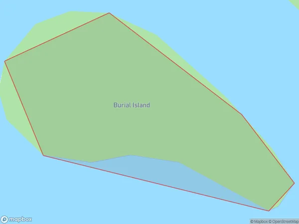
0 people live in Burial Island, Southland, NZBurial Island Suburb Area Map (Polygon)
Burial Island Introduction
Burial Island is a small island located in Fiordland National Park, Southland, New Zealand. It is known for its stunning natural beauty, including rugged cliffs, dense forests, and crystal-clear lakes. The island is a popular destination for hiking, camping, and wildlife viewing, with a variety of species of birds, including kea and tui. Burial Island has a rich history and was once home to a Māori settlement. It is also believed to be the site of a tragic massacre that took place in the 18th century.Region
Suburb Name
Burial IslandOther Name(s)
Kaipipi BayBurial Island Area Map (Street)

Local Authority
Southland DistrictFull Address
Burial Island, Southland District, New ZealandAddress Type
IslandBurial Island Suburb Map (Satellite)

Country
Main Region in AU
SouthlandBurial Island Region Map

Coordinates
-46.90085145,168.073876248333 (latitude/longitude)Distances
The distance from Burial Island, , Southland District to NZ Top 10 Cities