Burgess Island (Pokohinu) Area, Burgess Island (Pokohinu) Postcode & Map in Burgess Island (Pokohinu)
Burgess Island (Pokohinu) Area, Burgess Island (Pokohinu) Postcode & Map in Burgess Island (Pokohinu), Auckland,
Burgess Island (Pokohinu), Auckland,
Burgess Island (Pokohinu) Area (estimated)
0.7 square kilometersBurgess Island (Pokohinu) Population (estimated)
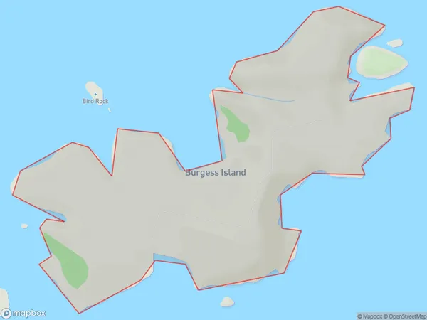
0 people live in Burgess Island (Pokohinu), Brighton, NZBurgess Island (Pokohinu) Suburb Area Map (Polygon)
Burgess Island (Pokohinu) Introduction
Burgess Island (Pokohinu) is a small, uninhabited island located in the Foveaux Strait, between the South Island of New Zealand and the Otago Peninsula. It is part of the Otago Harbour Islands Group and is known for its scenic beauty, including rugged cliffs, sandy beaches, and diverse wildlife. The island is a popular destination for day trips and outdoor activities such as hiking, kayaking, and birdwatching.Region
Major City
Suburb Name
Burgess Island (Pokohinu)Other Name(s)
Mokohinau Islands, Burgess Island, PokohinuBurgess Island (Pokohinu) Area Map (Street)
Local Authority
AucklandFull Address
Burgess Island (Pokohinu), Auckland,Address Type
IslandBurgess Island (Pokohinu) Suburb Map (Satellite)
Country
Main Region in AU
OtagoBurgess Island (Pokohinu) Region Map
Coordinates
0,0 (latitude/longitude)Distances
The distance from Burgess Island (Pokohinu), , Auckland to NZ Top 10 Cities