Buncrana Island Area, Buncrana Island Postcode(9643) & Map in Buncrana Island
Buncrana Island Area, Buncrana Island Postcode(9643) & Map in Buncrana Island, Southland District, New Zealand
Buncrana Island, Southland District, New Zealand
Buncrana Island Postcodes
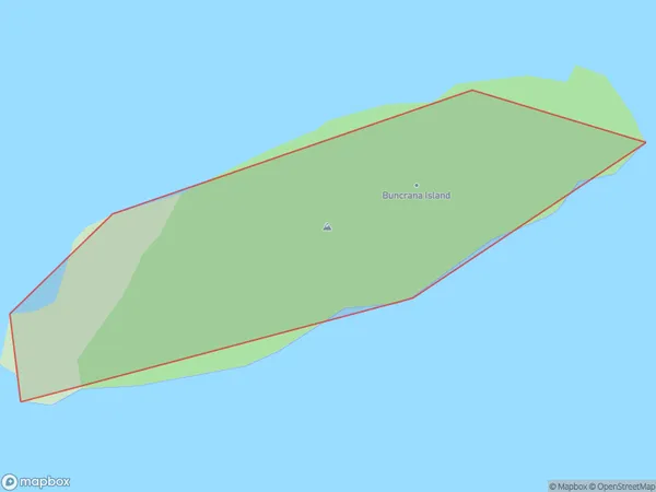
Buncrana Island Area (estimated)
0.1 square kilometersBuncrana Island Population (estimated)
0 people live in Buncrana Island, Fiordland Community, NZBuncrana Island Suburb Area Map (Polygon)
Buncrana Island Introduction
Buncrana Island is a small island located in the Foveaux Strait, Southland, New Zealand. It is home to a small community of around 100 people and is known for its beautiful beaches, stunning scenery, and rich cultural heritage. The island has a rich history, with evidence of early Māori settlement dating back to around 1200 AD. The island was also used as a base for whaling and sealing operations in the 19th century. Today, Buncrana Island is a popular tourist destination, with visitors coming to enjoy the natural beauty, relax on the beaches, and explore the historic sites. The island also hosts a number of events and festivals throughout the year, including the Buncrana Festival of Arts and Culture, which attracts artists and performers from around New Zealand.Region
Major City
Suburb Name
Buncrana IslandOther Name(s)
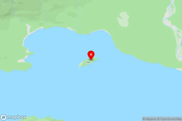
Lake ManapouriBuncrana Island Area Map (Street)
Local Authority
Southland DistrictFull Address
Buncrana Island, Southland District, New ZealandAddress Type
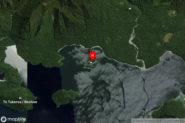
IslandBuncrana Island Suburb Map (Satellite)
Country
Main Region in AU
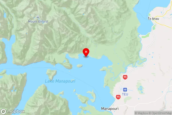
SouthlandBuncrana Island Region Map
Coordinates
-45.4796251,167.5561056 (latitude/longitude)Distances
The distance from Buncrana Island, , Southland District to NZ Top 10 Cities