Browns Island (Motukorea) Area, Browns Island (Motukorea) Postcode(0622) & Map in Browns Island (Motukorea)
Browns Island (Motukorea) Area, Browns Island (Motukorea) Postcode(0622) & Map in Browns Island (Motukorea), Auckland, New Zealand
Browns Island (Motukorea), Auckland, New Zealand
Browns Island (Motukorea) Postcodes
Browns Island (Motukorea) Area (estimated)
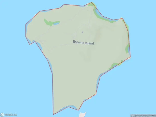
0.7 square kilometersBrowns Island (Motukorea) Population (estimated)
0 people live in Browns Island (Motukorea), Waiheke, NZBrowns Island (Motukorea) Suburb Area Map (Polygon)
Browns Island (Motukorea) Introduction
Browns Island is a small, uninhabited island in the Hauraki Gulf, located off the coast of Auckland, New Zealand. It is known for its scenic beauty, including rugged cliffs, sandy beaches, and native bird populations. The island is part of the Motukorea Island Group and is accessible by boat or kayak from the nearby town of Orewa.Region
Major City
Suburb Name
Browns Island (Motukorea)Other Name(s)
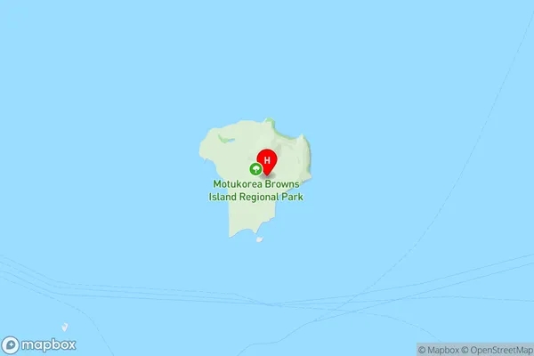
Browns Island, Motukorea, Hauraki GulfBrowns Island (Motukorea) Area Map (Street)
Local Authority
AucklandFull Address
Browns Island (Motukorea), Auckland, New ZealandAddress Type
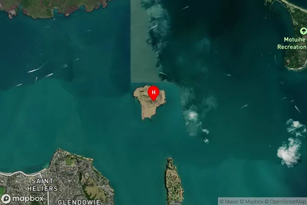
IslandBrowns Island (Motukorea) Suburb Map (Satellite)
Country
Main Region in AU
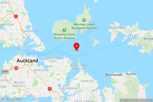
AucklandBrowns Island (Motukorea) Region Map
Coordinates
-36.8313639,174.895564596748 (latitude/longitude)Distances
The distance from Browns Island (Motukorea), , Auckland to NZ Top 10 Cities