Breaksea Island Area, Breaksea Island Postcode & Map in Breaksea Island
Breaksea Island Area, Breaksea Island Postcode & Map in Breaksea Island, Southland District, New Zealand
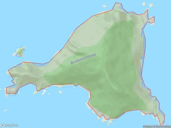
Breaksea Island, Southland District, New Zealand
Breaksea Island Area (estimated)
1.8 square kilometersBreaksea Island Population (estimated)
0 people live in Breaksea Island, Southland, NZBreaksea Island Suburb Area Map (Polygon)
Breaksea Island Introduction
Breaksea Island is a small, uninhabited island located in Fiordland National Park in Southland, New Zealand. It is known for its rugged coastline, stunning natural beauty, and diverse wildlife, including seals, penguins, and kea. The island is accessible by a scenic boat ride from the town of Te Anau.Region
Suburb Name
Breaksea IslandBreaksea Island Area Map (Street)

Local Authority
Southland DistrictFull Address
Breaksea Island, Southland District, New ZealandAddress Type
IslandBreaksea Island Suburb Map (Satellite)

Country
Main Region in AU
SouthlandBreaksea Island Region Map

Coordinates
-45.578326,166.636451912034 (latitude/longitude)Distances
The distance from Breaksea Island, , Southland District to NZ Top 10 Cities