Bravo Island Area, Bravo Island Postcode & Map in Bravo Island
Bravo Island Area, Bravo Island Postcode & Map in Bravo Island, Southland District, New Zealand
Bravo Island, Southland District, New Zealand
Bravo Island Area (estimated)
0.3 square kilometersBravo Island Population (estimated)
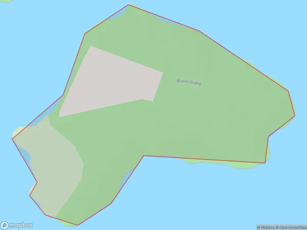
0 people live in Bravo Island, Southland, NZBravo Island Suburb Area Map (Polygon)
Bravo Island Introduction
Bravo Island is a small, uninhabited island in Fiordland National Park, Southland, New Zealand. It is located in the southern part of the Fiordland region and is surrounded by stunning mountain scenery. The island is a popular destination for outdoor enthusiasts, with opportunities for hiking, kayaking, and fishing. It is also home to a variety of wildlife, including seals, penguins, and kea.Region
Suburb Name
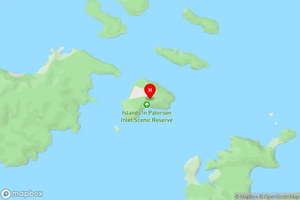
Bravo IslandBravo Island Area Map (Street)
Local Authority
Southland DistrictFull Address
Bravo Island, Southland District, New ZealandAddress Type
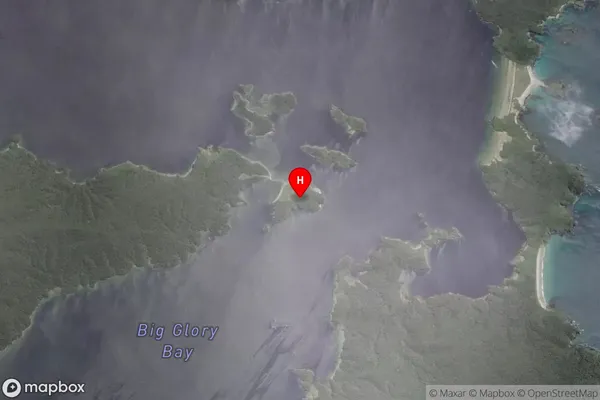
IslandBravo Island Suburb Map (Satellite)
Country
Main Region in AU
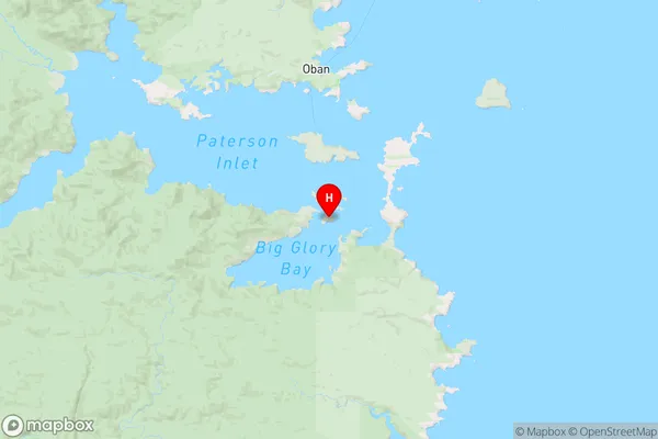
SouthlandBravo Island Region Map
Coordinates
-46.96226595,168.136448618169 (latitude/longitude)Distances
The distance from Bravo Island, , Southland District to NZ Top 10 Cities