Black Rocks Area, Black Rocks Postcode & Map in Black Rocks
Black Rocks Area, Black Rocks Postcode & Map in Black Rocks, Far North District, New Zealand
Black Rocks, Far North District, New Zealand
Black Rocks Area (estimated)
-1.2 square kilometersBlack Rocks Population (estimated)
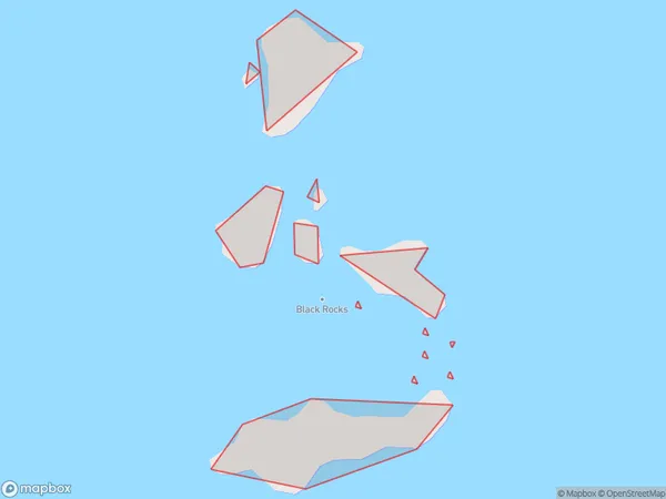
0 people live in Black Rocks, Northland, NZBlack Rocks Suburb Area Map (Polygon)
Black Rocks Introduction
Black Rocks is a small settlement in Northland, New Zealand. It is located on State Highway 12, about 10 kilometers south of Kaitaia. The settlement has a population of around 100 people and is known for its scenic views and peaceful atmosphere. The area is popular with tourists and outdoor enthusiasts, who enjoy activities such as hiking, fishing, and kayaking.Region
Suburb Name
Black RocksOther Name(s)
Bay Of IslandsBlack Rocks Area Map (Street)

Local Authority
Far North DistrictFull Address
Black Rocks, Far North District, New ZealandAddress Type
IslandBlack Rocks Suburb Map (Satellite)

Country
Main Region in AU
NorthlandBlack Rocks Region Map

Coordinates
-35.37824315,174.363229734898 (latitude/longitude)Distances
The distance from Black Rocks, , Far North District to NZ Top 10 Cities