Black Jacks Island Area, Black Jacks Island Postcode & Map in Black Jacks Island
Black Jacks Island Area, Black Jacks Island Postcode & Map in Black Jacks Island, Waitaki District, New Zealand
Black Jacks Island, Waitaki District, New Zealand
Black Jacks Island Area (estimated)
0.2 square kilometersBlack Jacks Island Population (estimated)
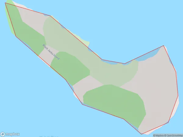
0 people live in Black Jacks Island, Canterbury, NZBlack Jacks Island Suburb Area Map (Polygon)
Black Jacks Island Introduction
Black Jacks Island is a small island located off the coast of Christchurch, New Zealand. It is known for its unique geological features, including volcanic cones, caves, and a variety of bird species. The island is a popular destination for tourists and nature enthusiasts and is part of the Canterbury Regional Park.Region
Suburb Name
Black Jacks IslandOther Name(s)
Lake BenmoreBlack Jacks Island Area Map (Street)

Local Authority
Waitaki DistrictFull Address
Black Jacks Island, Waitaki District, New ZealandAddress Type
IslandBlack Jacks Island Suburb Map (Satellite)

Country
Main Region in AU
CanterburyBlack Jacks Island Region Map

Coordinates
-44.53458715,170.201047870428 (latitude/longitude)Distances
The distance from Black Jacks Island, , Waitaki District to NZ Top 10 Cities